Trans-Sierra Backpacking - Day 6 (Summit Day)
Explore Landscapes #125
Day 6 of the Trans-Sierra backpacking route took us from Crabtree Meadow to Summit of Tumanguya / Mt. Whitney [16.41 miles / 4,210 ft ascent / 4,212 ft descent]
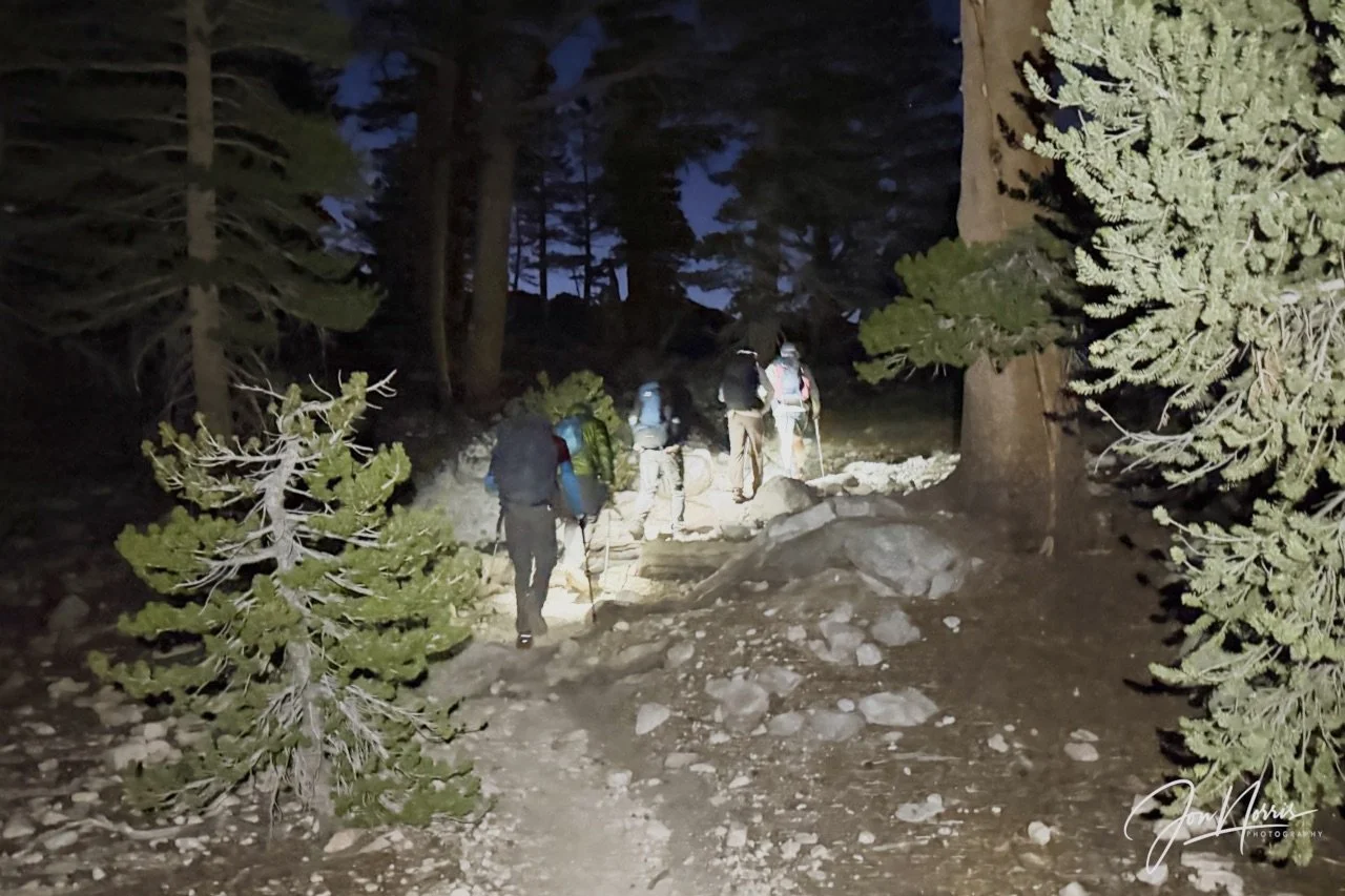
Winding our way through the trees next to Whitney Creek | © 2026 Jon Norris
Introduction
I just backpacked across the Sierras, through Kings Canyon and Sequoia National Parks, on a Trans-Sierra Xtreme Challenge (TSX) trek with the Reciprocity Rx™ team. Reciprocity Rx™ is the brainchild of Sydney and Barry Williams (aka Hiking My Feelings® and WITW Consulting).
Over the next few weeks I’m going to publish a post for each day of the trek featuring route descriptions and reflection prompts from Sydney Williams, my responses to those prompts, plus exerts from my journal that I kept during the trek. In those responses I’m opening myself up, and being 100% authentic and real, so please be kind. Plus, of course, I’m including images that I took along the way.
As a landscape photographer it was a hard decision for me not to take my ‘big’ camera with me. As I was hiking with a group, I knew that I’d only be able to take snapshots throughout each day, and that I’d be carrying supplies for eight days, so adding 5+ lbs in weight made no sense. Consequently, all images were shot on my iPhone 17 Pro Plus.
NOTE: trekking miles and ascent / descent varied significantly between the GPX route files (whether viewed on AllTrails or Gaia GPS) and the data that my Garmin Fenix 7X recorded as I was trekking (it varied by 15 miles over the 8 days). I’m going to be using the Garmin data in the posts. I’m going to do some digging to try and figure out why this might be. I’ll share what I find out!
Here’s the previous days posts for this backpacking trip in case you missed them:
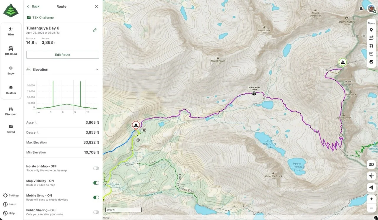
Tumanguya (Mt. Whitney) Backpacking Route - Day 6
Day 6’s Route Guidance
From Sydney Williams, “Day 6 is the biggest physical day of the trek, and one of the most important emotional thresholds.
Today’s theme is: Choose.
We are heading into the alpine world, where nearly everything is stripped away. The trees disappear. Shade becomes scarce. Water becomes more precious. The trail turns to granite, rock, exposure, breath, sky, and the next safe step.
This landscape does not waste energy, and neither do we.
Today offers the possibility of standing on top of Tumanguya / Mt. Whitney, the tallest peak in the contiguous United States. That is a powerful goal, and for those who summit, we will celebrate it fully. But the summit is not the only measure of this day.
The deeper practice is self-trust.
Choosing to summit can be powerful. Choosing not to summit can be powerful. Turning around can be wisdom. Staying at camp can be care. Trying and changing your mind can interrupt old patterns of pushing, proving, performing, or overriding your body.
As we climb, notice how the alpine environment mirrors the experience: fewer distractions, fewer comforts, fewer places to hide. Just breath, rock, effort, choice, and the people moving through this day together.
Today’s invitation is to stay in honest relationship with the mountain, your body, the group, and the conditions of the day. Listen early. Fuel often. Layer wisely. Move with respect. Let the mountain be real, and let your choices be real too.
Today’s reminder: the summit is a place. Self-trust is the practice.”
Trans-Sierra Backpacking - Day 6
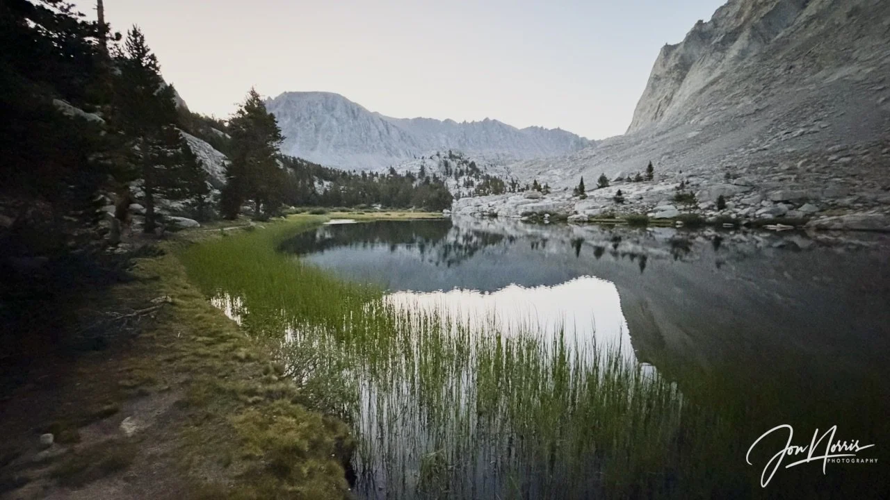
Early morning light at Timberline Lake | © 2026 Jon Norris
I woke up at 4am for a 4:45am start for summit day. I chugged down 2 mugs of coffee (my statuary start to any day) and had a Clif Bar for breakfast. The breakfast of champions.
We left camp while it was still dark and hiked with our headlamps on until the morning light came to greet us—and showed us what the day had in store for us.
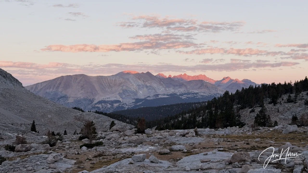
Alpenglow lights up the Kern and Kaweah ridges in the distance behind us | © 2026 Jon Norris
Looking back towards the Kern and Kaweah ridges I stopped for a few minutes to enjoy the alpenglow kissing the ridge lines and the morning light reflecting on the whisoy clouds floating above them.
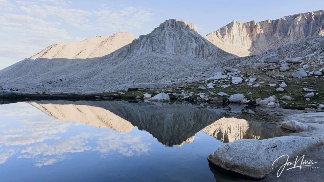
Early morning reflections in one of the ponds above Guitar Lake | © 2026 Jon Norris
We paused at one of the ponds near Guitar Lake to filter water and ‘camel up’. I was carrying 3 liters of water—and knew I’d need it all and more.
When you look up at the West face of Mt. Whitney from Guitar Lake you cannot see a way up there. You see what appears to be an impassable wall of granite. However, the map told another story, and much like the climb up to Colby Pass, the trail would reveal itself when the time was right.
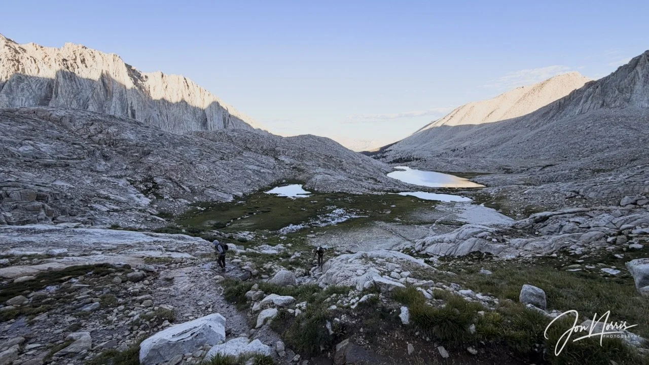
Video and image: Looking back along the John Muir Trail towards Guitar Lake | © 2026 Jon Norris
I was in awe of the scenery and landscape around me—as you can see from my expression in the selfie below. I just couldn’t get enough of the views and the total immersion of being out in the wilderness.
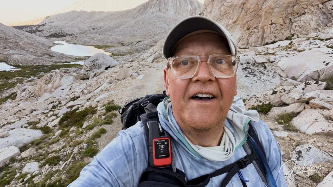
Yours truly looking up the switchbacks with Guitar Lake behind me | © 2026 Jon Norris
As we hiked up each of the 11 switchbacks we called out loudly the switchback number we were on. This allowed the group to spread out to match their own pace, while still hearing where each other were on the climb. Our voices echoed in the early morning air.
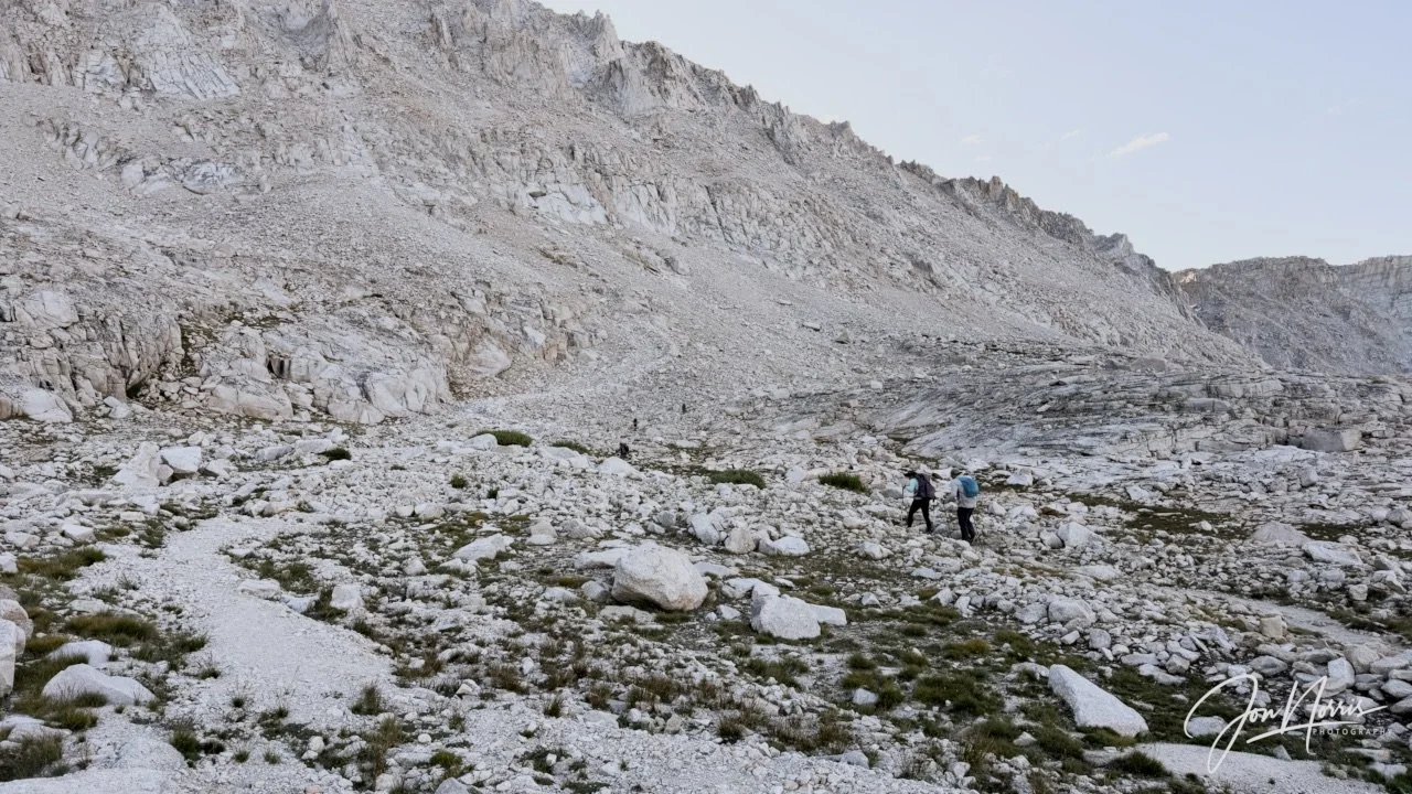
The start of the 11 switchbacks | © 2026 Jon Norris
The first switchback is about a mile long—subsequent ones are shorter but steeper. I was very lucky (and happy) to have Diem and Kevin’s support as hiking buddies on summit day. Each of us was ‘leaning on the others’ when we needed it, comparing notes on how we were feeling, and motivating each other to keep going. Summit day as a solitary hiker would have been a very different experience.
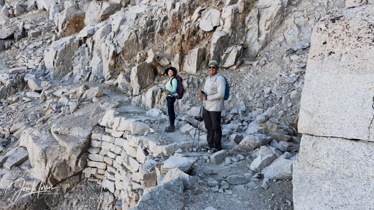
My summit day hiking buddies, Diem and Kevin | © 2026 Jon Norris
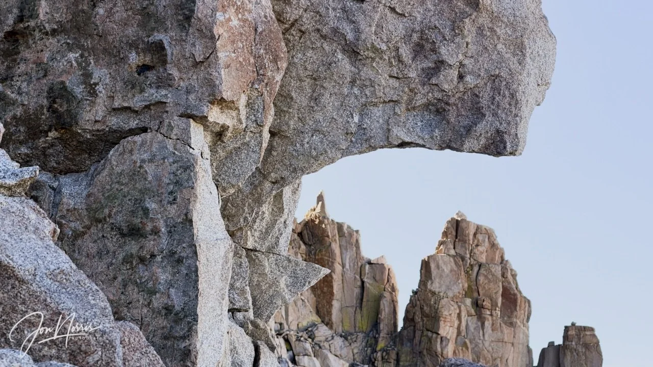
Granite everywhere! | © 2026 Jon Norris
Eventually we reach the junction where the John Muir Trail (that we were walking along from the West) meets the Whitney Portal Trail (that approaches from the East). There were plenty of backpacks left there by people wanting to summit ‘light’ and pick them up on their way down.
We refill our water supplies (from our guide who was waiting for us at the junction), have a snack, and then start making our way along the summit trail (1.9 miles).
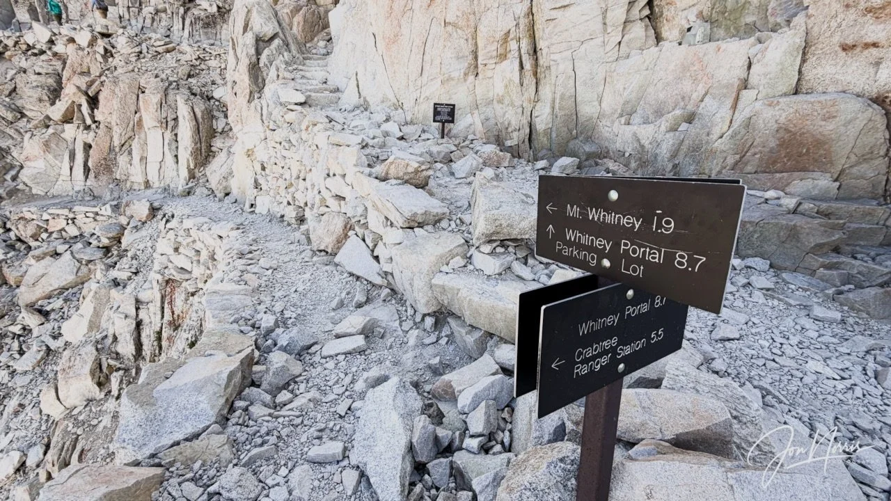
Only 1.9 miles to go! | © 2026 Jon Norris
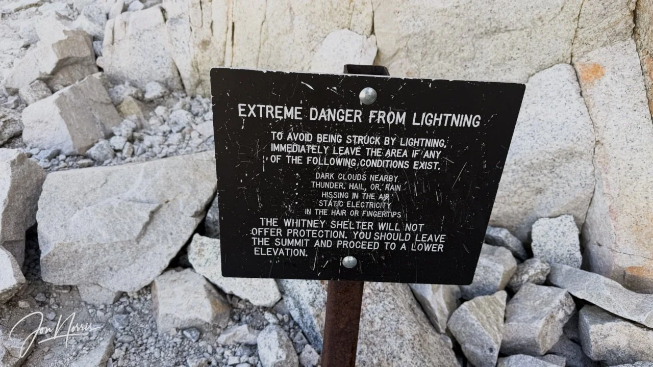
Extreme Danger from Lightning | © 2026 Jon Norris
The ridge is exposed with steep drop offs on both sides of the trail. We took our time on the ridge, carefully selecting each foot placement. I found that my poles were absolutely essential to make sure my balance was maintained.
I felt dizzy and unsteady for much of the time in the 12k to 14k feet altitude range, and had to hold my poles wide apart to steady myself, while walking slowly to preserve my energy.
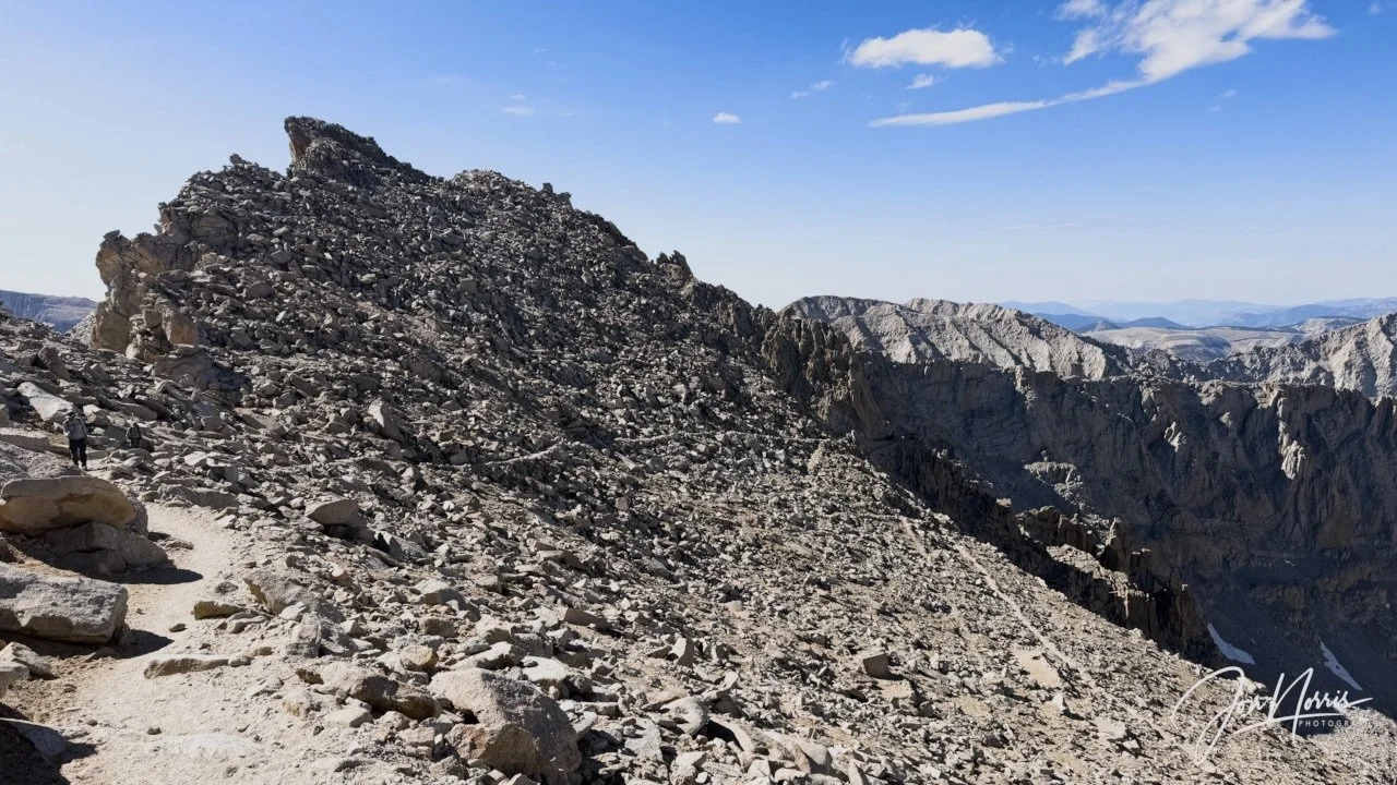
Looking back at the initial climb up to the ridge line | © 2026 Jon Norris
After all the effort to get up to and along the initial part of the ridge line, you’re then faced with the open boulder field (talus) that bears left and then turns right towards the summit.
You can see the summit shelter/hut but at first glance you can’t see how to get up there.
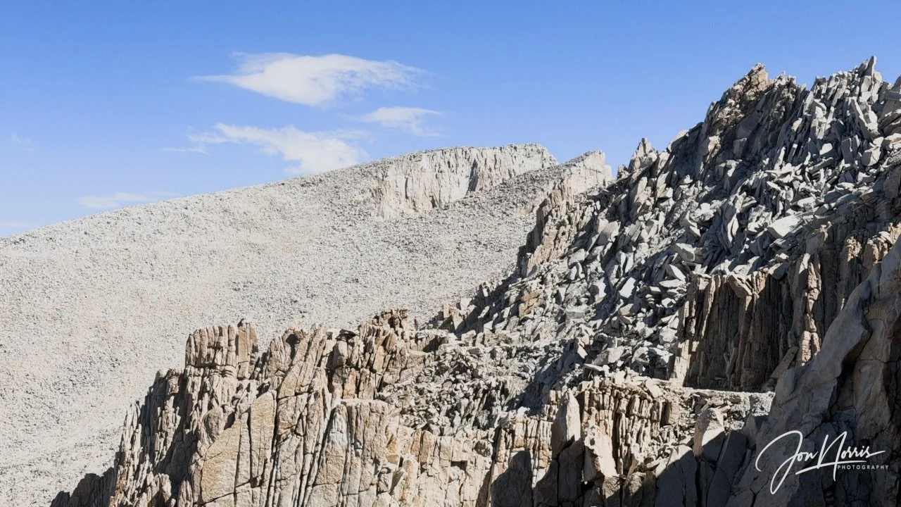
Looking towards the summit from the flank of Mt. Muir | © 2026 Jon Norris
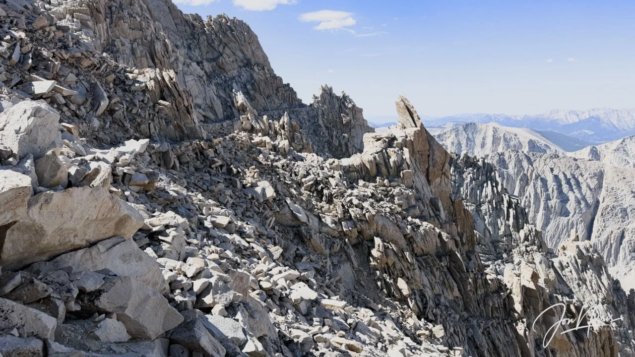
Looking back along the ridge trail from Mt. Muir | © 2026 Jon Norris
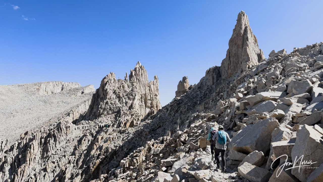
Video and image: Approaching S’brutal Tower and Aiguille Junior | © 2026 Jon Norris
We stopped at each of the 3 ‘windows’ to take in the views—which were phenomenal. It was a beautifully clear day with just a few wispy clouds. To the East we could clearly see the Inyo Mountains and Owens Lake, and every lake and geological feature in between including Pinnacle Ridge, Pinnacle Pass and Thor Peak.
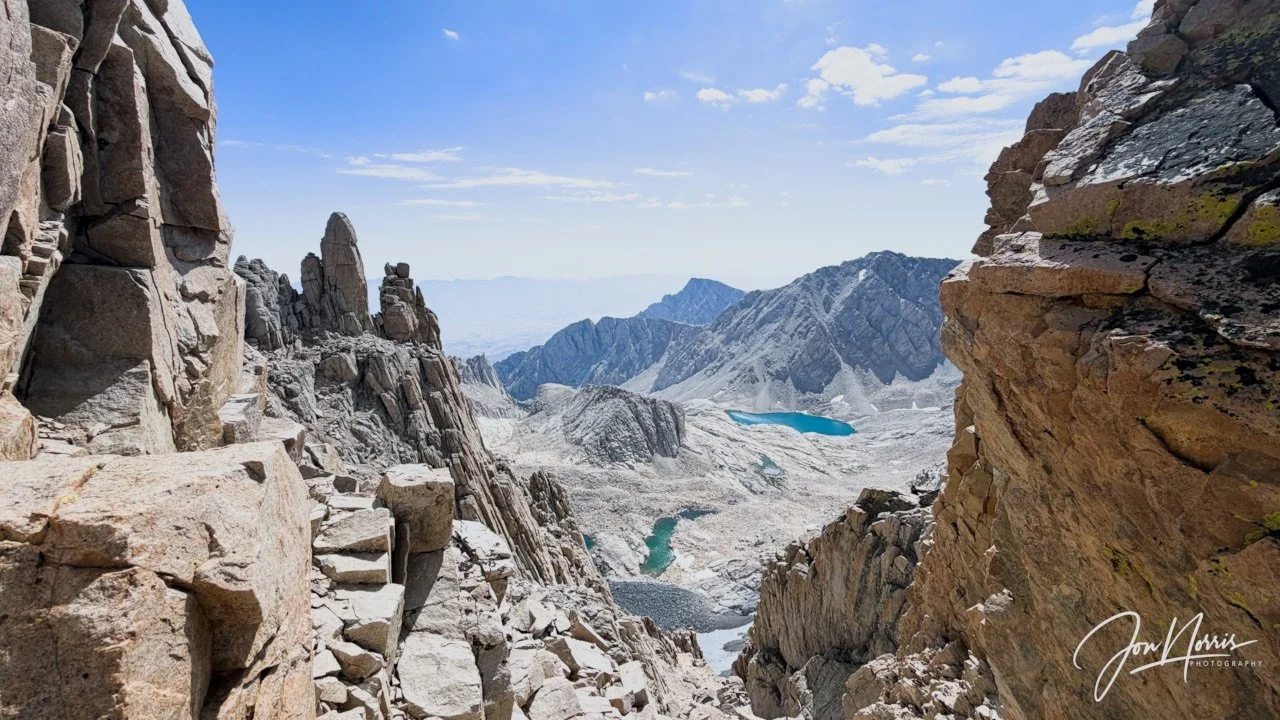
Looking East through the first window to the right of S’brutal Tower | © 2026 Jon Norris
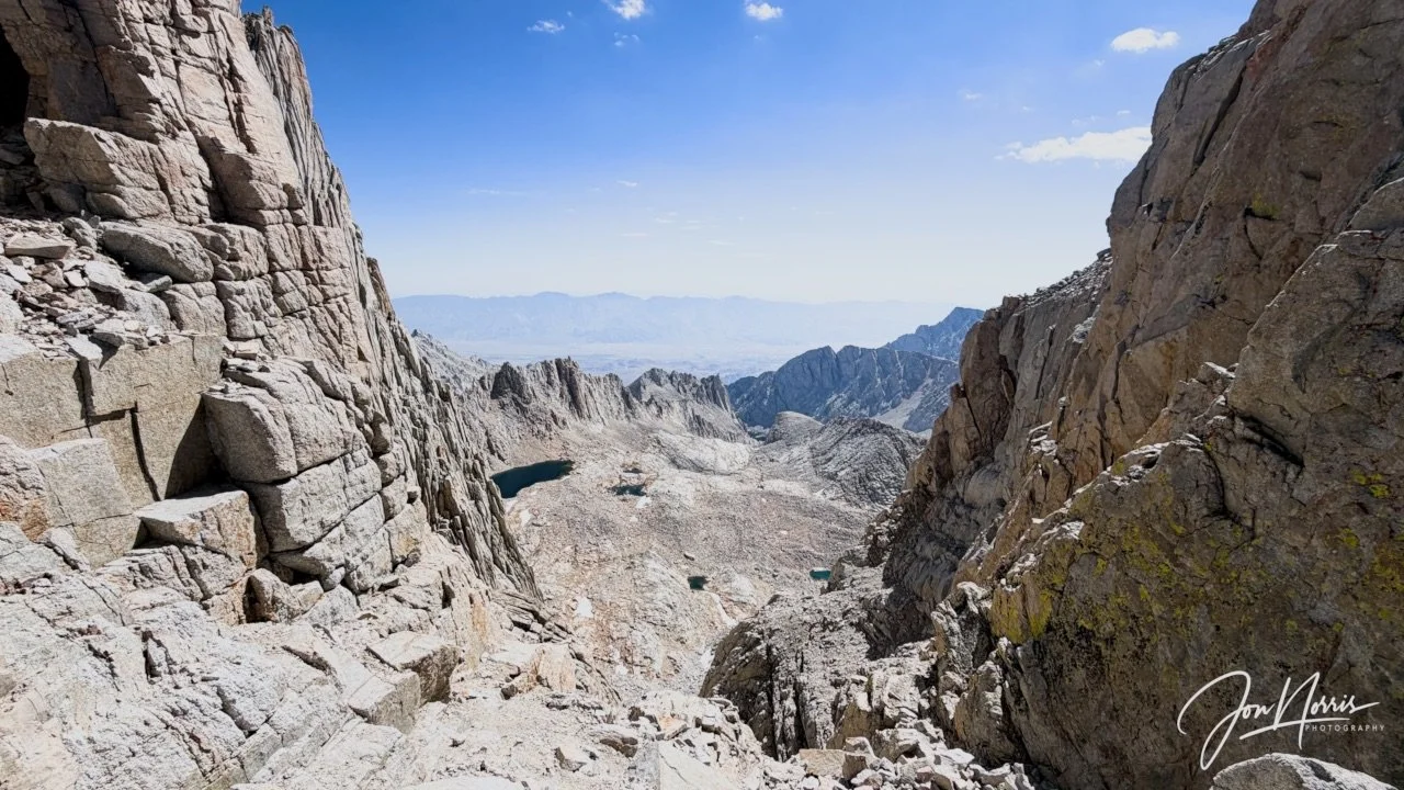
Looking East through the first window to the left of S’brutal Tower | © 2026 Jon Norris
Once you pass the windows you come face to face with the huge South-East face of Mt. Whitney that drops away steeply from the summit.
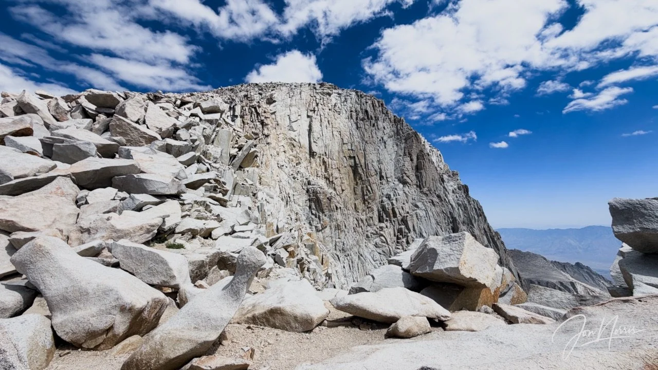
The South-East face of Mt. Whitney | © 2026 Jon Norris
Diem and Kevin stopped to chat to a friend (Ash) that had come to Mt. Whitney for the day to meet them en route. I said hello and then excused myself as I was keen to finish the last 500 feet to the top and just needed to keep going.
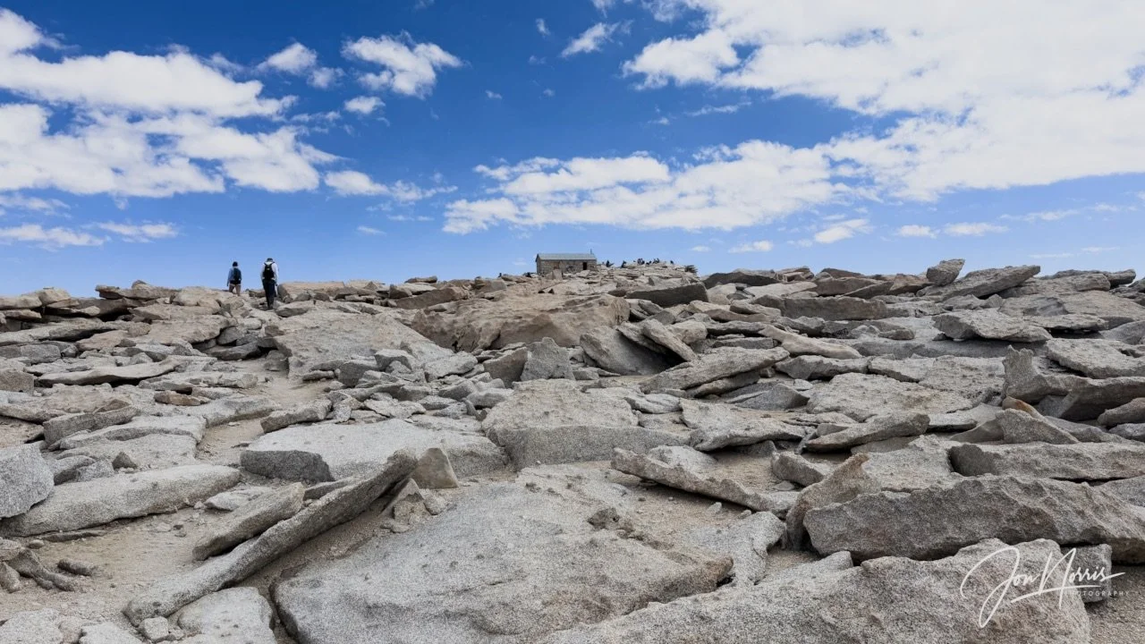
The last 500 feet to the summit shelter | © 2026 Jon Norris
I pushed myself and focused on getting to the top. Just before the summit, I met Sydney and Barry (who had left camp earlier and us to lead some of the group who’d need more time) who were on their way down. We fist-bumped and hugged.
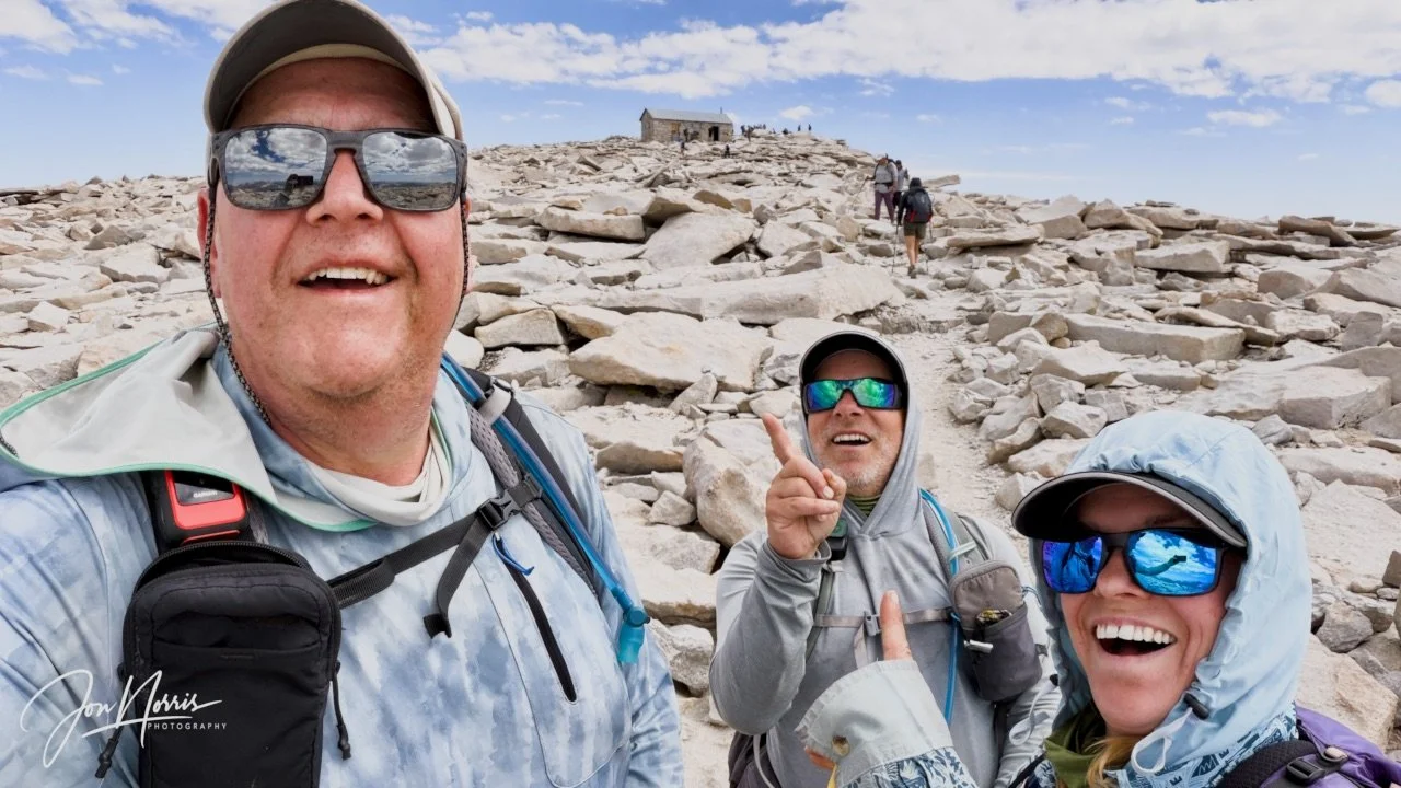
Meeting Sydney and Barry Williams on their way down | © 2026 Jon Norris
And then after a couple of hundred yards I was at the summit. I’d done it. I’d got myself to the top of Mt. Whitney—what an amazing achievement. I sat down on a big flat rock and just took it all in for about 15 minutes. The achievement, the views.
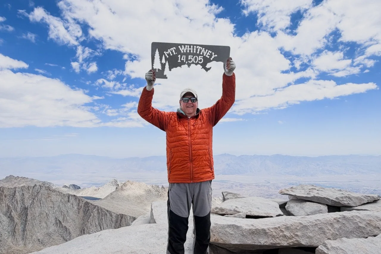
Yours truly on the summit of Mt. Whitney | © 2026 Diem Nguyen
As I relaxed, and my heart rate returned to normal, I ate lunch (two rounds of PBJ wrap and a side of chips). We had about 30 minutes exploring the summit shelter, singing the log book, and taking photos of each other holding up the summit sign. It felt great.
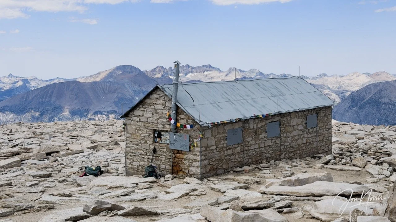
Video and image: Smithsonian Summit Shelter on Mt. Whitney | © 2026 Jon Norris
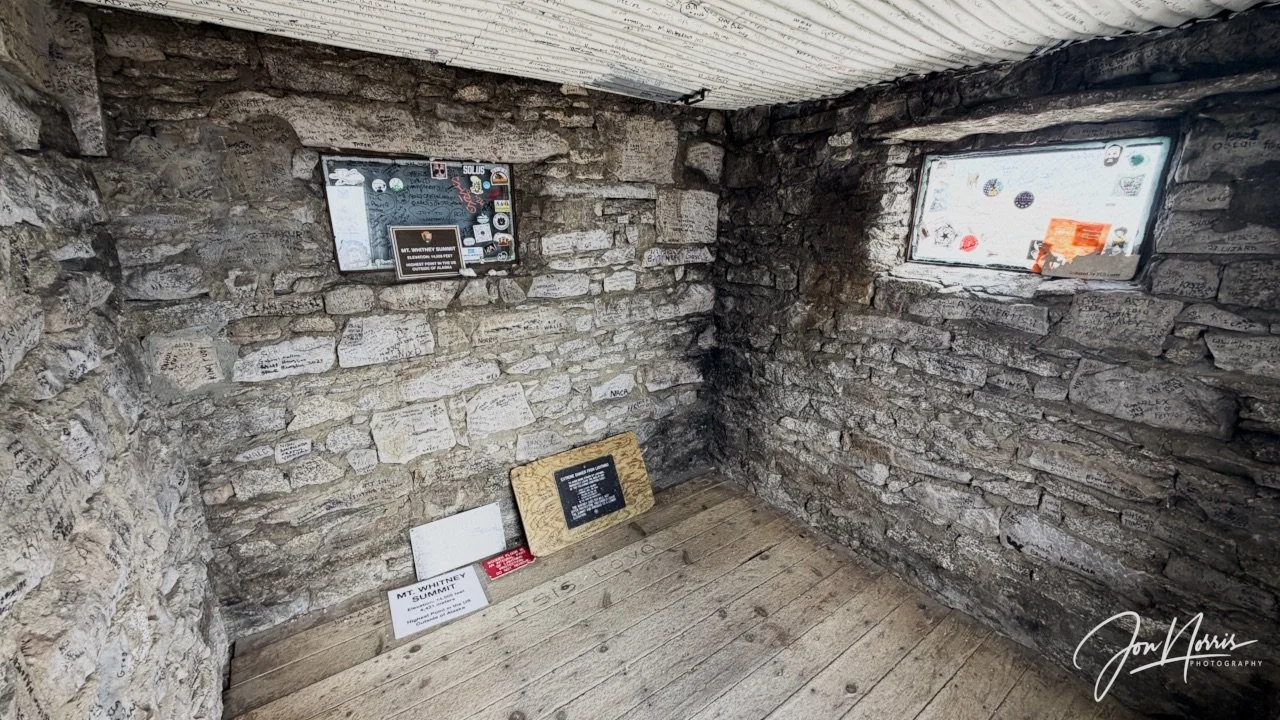
Smithsonian Summit Shelter on Mt. Whitney | © 2026 Jon Norris
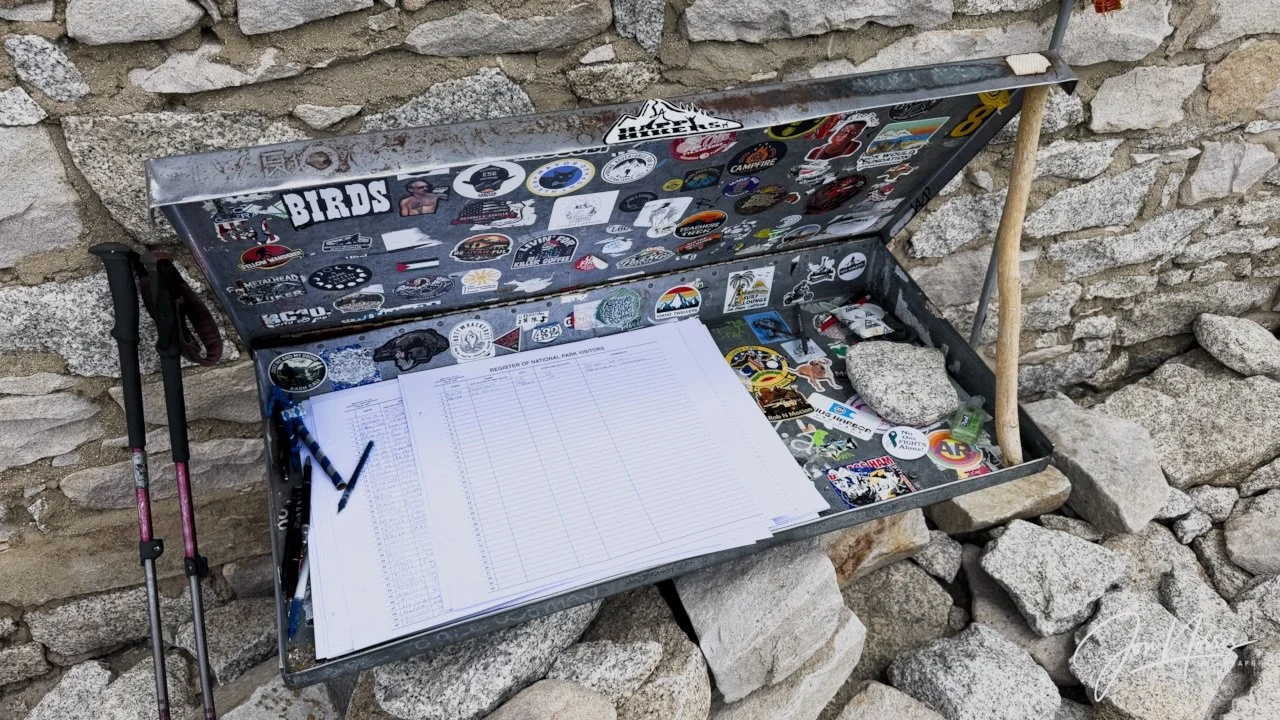
Signing the Mt. Whitney Summit Log Book | © 2026 Jon Norris
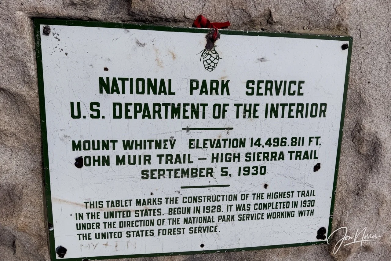
The Mt. Whitney Summit tablet | © 2026 Jon Norris
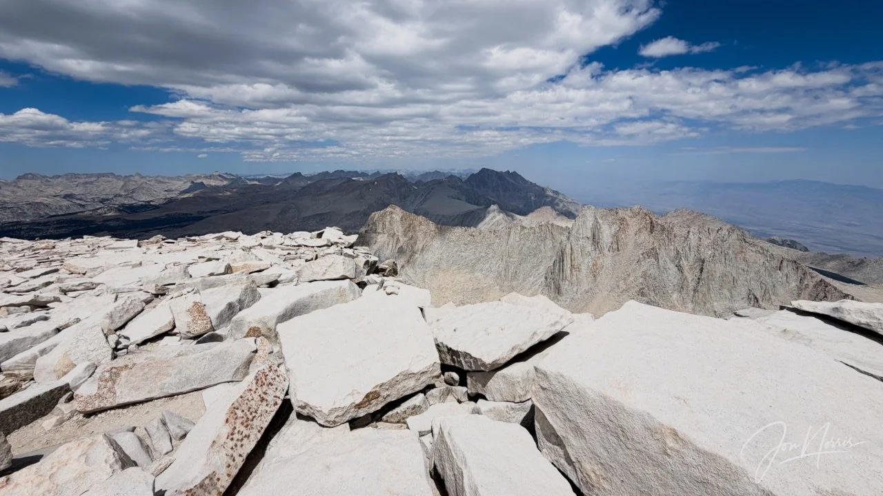
Video and image: Views from the Mt. Whitney summit | © 2026 Jon Norris
Then, it (the altitude) hits you. You need to get off the mountain and it’s over 4,200 feet down to get back to camp. You have to be careful on the way down. You’re feeling dizzy from the altitude and you’re physically exhausted after the climb up. Every foot placement counts.
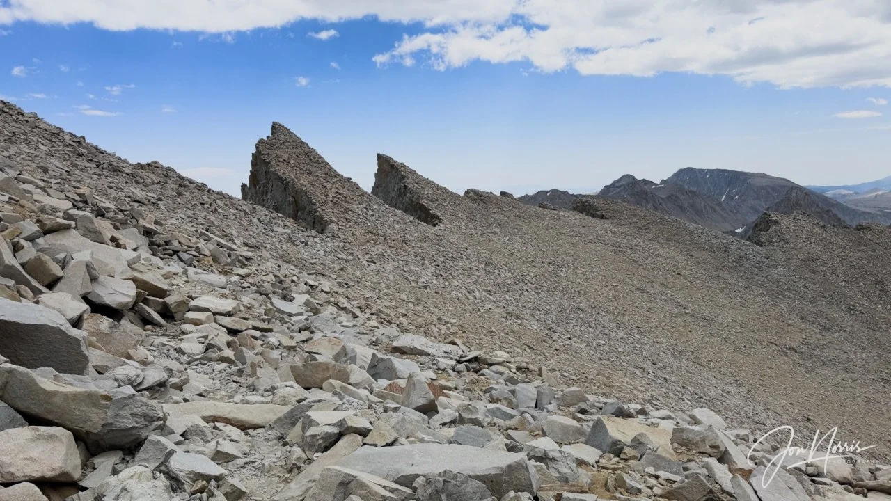
Looking along the ridge line during our descent towards Keeler Needle, Crooks Peak, Third Needle, and Aiguille Extra | © 2026 Jon Norris
We (Diem, Kevin and I) made slow but steady progress down. It was a relief to reach the trail junction and to top up our water and have a snack.
Then we reversed the 11 switchbacks and dropped down to the top pond to fill up with water again. My water bladder was empty for the second time that day. No matter how much I drank my body wanted more. On summit day I drank about 6.5 liters of water.
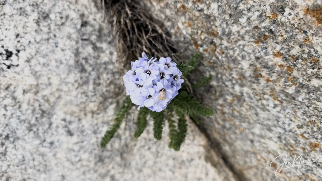
Sierra Nevada Sky Pilot | © 2026 Jon Norris
The last 3 miles to camp were exhausting. I had very little left in the tank and just plodded slowly back to camp. The only photo that I took on the way down was of a beautiful little Sierra Nevada Sky Pilot flower.
Sitting down on the log next to my tent was a massive relief. I sat and didn’t move. I was too tired to fully realize what I’d achieved. I walked down to the creek and soaked my feet before washing away the days heat and dust.
Till next time - and Day 7!
Day 6’s Camp Reflections
Prompts from Sydney Williams, with my responses.
Daily Reflections:
What did you notice outside yourself today? The sheer size, scale and majesty of the Mt. Whitney massif. It’s a massive hunk of granite with the most fascinating features, such as the windows and pinnacles along the 2-mile ridge line.
What did you notice inside yourself today? I noticed my determination to summit and the unrelenting need to focus on every step and pole placement as we traversed the granite talus ridge. I felt dizzy and unsteady for much of the time in the 12k to 14k feet range, and had to hold my poles wide apart to steady myself, while walking slowly to preserve my energy.
Where did the landscape match your inner experience? Today I felt like I identified with the 11 switchbacks that take you up to the junction with the Whitney Portal route (the 99 switchbacks). They reminded me how life takes you one way then another—each change of direction being abrupt, but overall making positive progress.
Where did it challenge it? Once you’ve made your way along the Whitney Ridge, past the windows and the Keeler Needle, you can see the summit hut and your first reaction is, that doesn’t look too far. Then, your eyes scan the slope of huge broken granite boulders and rocks, and you notice people. They look tiny—and it hits you how far you still have to go.
What moment from today do you not want to forget? As I created the last section of the summit climb I met Sydney and Barry who were on their way down. We fist-bumped—and hugged. I’d f*#king done it! I’d got myself to the top of Mt. Whitney—what an amazing achievement. The views from the top were incredible. Everything you see is lower than you are. Phenomenal, powerful landscape views in every direction.
Theme Reflections:
What choice did you make today that honored your body, your safety, or your truth? I made a very active choice to move carefully and think about every foot placement as I slowly made my way up Mt. Whitney.
How did the mountain challenge or change your definition of success? I found that I was feeling like I’d succeeded just by being on the approach to the mountain. Every step forwards/upwards was successful. I appreciated every step of the journey that I’d achieved, and was not solely focused on summiting—although, of course, I did want to summit.
What did you learn about the difference between pushing yourself and trusting yourself? So much of the climb was mental rather than physical. I moved through different states of mind as I climbed. At times, I pushed myself for 5-10 minutes to move at a faster pace. Then, I’d have to slow down, steady my balance, breathe through the dizziness due to altitude (hypoxia) and know that it would pass and I could then push myself again to continue.
