Trans-Sierra Backpacking - Day 5
Explore Landscapes #124
Day 5 of the Trans-Sierra backpacking route took us from Junction Meadow to Crabtree Meadow [10.2 miles / 3,330 ft ascent / 696 ft descent]
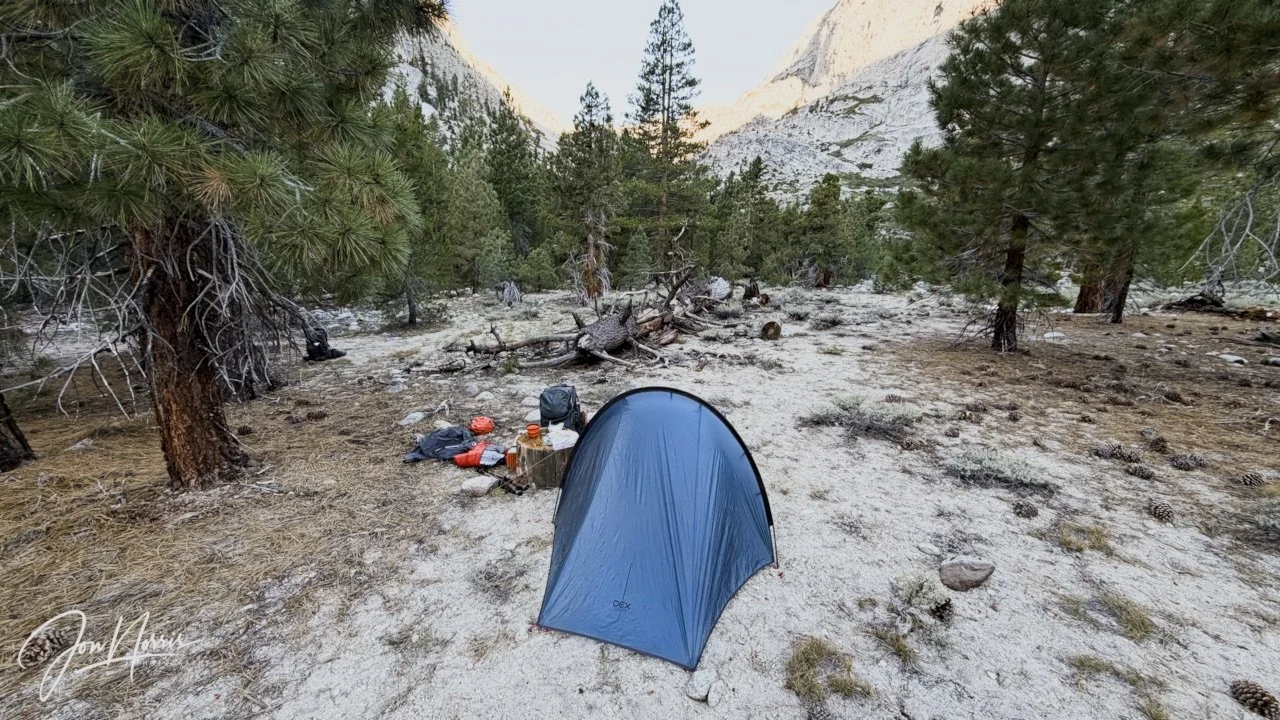
My little patch of Junction Meadow on the morning of Day 5 | © 2026 Jon Norris
Introduction
I just backpacked across the Sierras, through Kings Canyon and Sequoia National Parks, on a Trans-Sierra Xtreme Challenge (TSX) trek with the Reciprocity Rx™ team. Reciprocity Rx™ is the brainchild of Sydney and Barry Williams (aka Hiking My Feelings® and WITW Consulting).
Over the next few weeks I’m going to publish a post for each day of the trek featuring route descriptions and reflection prompts from Sydney Williams, my responses to those prompts, plus exerts from my journal that I kept during the trek. In those responses I’m opening myself up, and being 100% authentic and real, so please be kind. Plus, of course, I’m including images that I took along the way.
As a landscape photographer it was a hard decision for me not to take my ‘big’ camera with me. As I was hiking with a group, I knew that I’d only be able to take snapshots throughout each day, and that I’d be carrying supplies for eight days, so adding 5+ lbs in weight made no sense. Consequently, all images were shot on my iPhone 17 Pro Plus.
NOTE: trekking miles and ascent / descent varied significantly between the GPX route files (whether viewed on AllTrails or Gaia GPS) and the data that my Garmin Fenix 7X recorded as I was trekking (it varied by 15 miles over the 8 days). I’m going to be using the Garmin data in the posts. I’m going to do some digging to try and figure out why this might be. I’ll share what I find out!
Here’s the previous days posts for this backpacking trip in case you missed them:
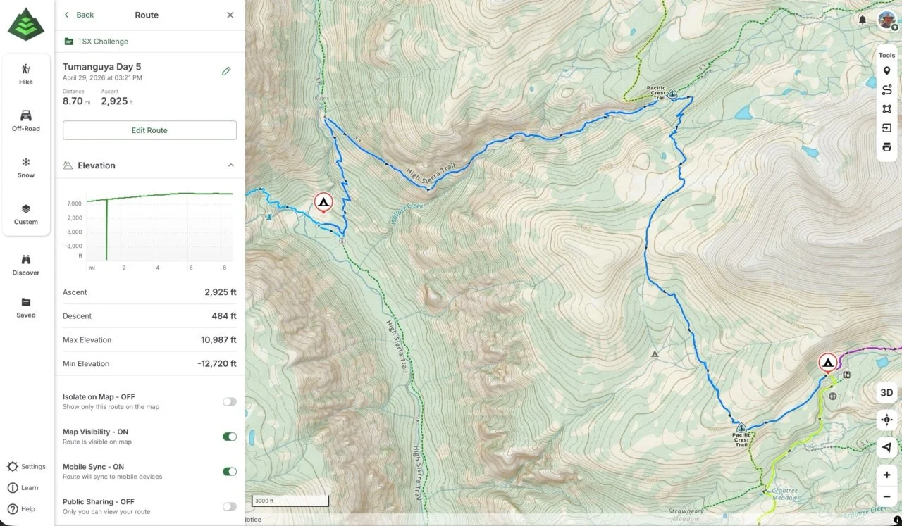
Tumanguya (Mt. Whitney) Backpacking Route - Day 5
Day 5’s Route Guidance
From Sydney Williams, “Day 5 asks us to climb again, but it also asks us to join.
Today’s theme is: Join the Current.
After yesterday’s threshold crossing and long descent, we begin making our way from Junction Meadow toward Crabtree Meadow and the Whitney region. This is a significant gain day, with more than 3,000 feet of climbing as we leave the Kern corridor and move toward higher meadow, open forest, and the summit approach.
Today, our route connects with the JMT / Nüümü Poyo — a footpath with a long, layered history that existed long before it carried the name John Muir Trail. As we join this storied corridor, we step into a larger current of movement, memory, relationship, recreation, displacement, reclamation, and return.
Notice how the landscape changes as we climb: the river corridor begins to fall away, the views open, the trail may feel more traveled, and the energy of the Whitney region begins to build. By the time we reach Crabtree Meadow, we’ll be in a gathering place before the big climb — meadow, creek, forest, granite, and summit anticipation all meeting in one place.
Today’s invitation is to notice how your individual journey fits inside a shared one. You do not have to disappear into the group to belong to it. You do not have to compare your reason for being here to anyone else’s. You are walking your own miles inside a larger story.
Today’s reminder: your story is walking inside a larger story.”
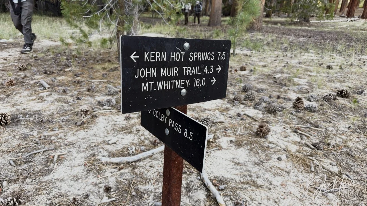
Which way now? Soon after leaving camp we join (for a short distance) the Pacific Crest Trail (PCT) | © 2026 Jon Norris
Trans-Sierra Backpacking - Day 5
For the first four days of the hike we only saw 2 other people. It felt like we had this phenomenal area of wilderness to ourselves. After following the Upper Kern Canyon Trail (which is part of the Pacific Crest Trail / PCT) for a little over a mile we took a sharp right turn and joined the High Sierra Trail that would lead us up Wallace Creek. Let the climbing begin!
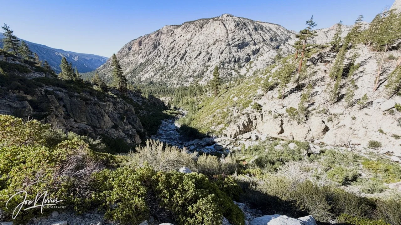
Video and Image: Looking back along the Kern River from the Upper Kern Canyon Trail | © 2026 Jon Norris
The views looking back down the Upper Kern Canyon Trail and along the Kern River were stunning. I had to stop and take it in—it was such a beautiful morning.
It was obvious we had joined a trail that sees much higher foot traffic than where we’d come from as the trail broadened and then became very well defined (mildly eroded)—and by the looks of it, maintained. We also started seeing a few more people.
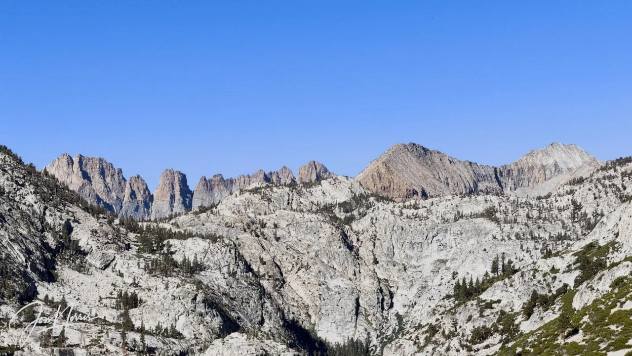
Kaweah Basin and the Kaweah Crest (left) and Picket Creek Basin (right) from the High Sierra Trail | © 2026 Jon Norris
Thanks to fellow SoCal landscape photographer and backpacker Mitch Miller for correcting my identification of the ridge line in the above image.
Soon after joining the High Sierra Trail we started to get glimpses of what laid ahead for us. While we couldn’t see Mt. Whitney we could see several of the peaks that make up the 13,800-14,000 ft ridge line that meets Mt. Whitney: Crooks Peak, Third Needle, Aiguille Extra, Aiguille du Paquoir, Aiguille Junior, S’brutal Tower and Mount Muir.
Kings Canyon and Sequoia National Parks keep most of their best views hidden, and only reveal themselves to those prepared to hike for multiple days to reach them.
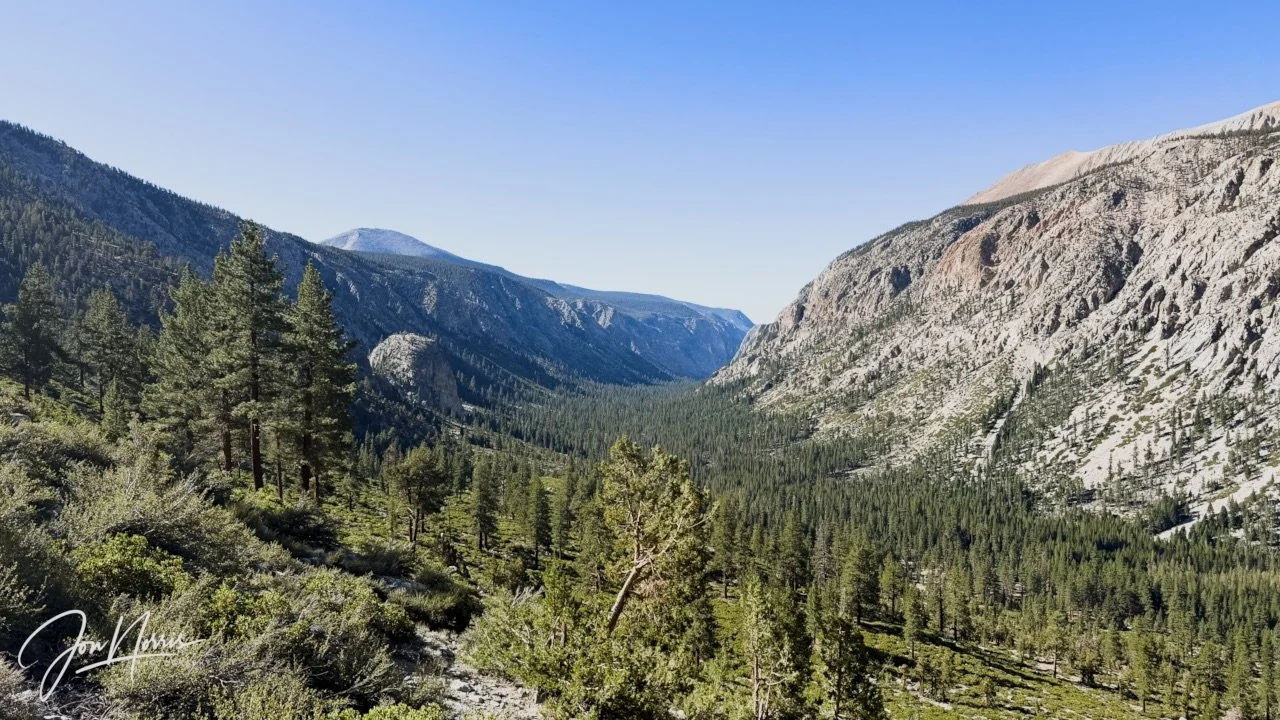
View down the valley from the High Sierra Trail | © 2026 Jon Norris
One of the things I really enjoyed on this trek is stopping at each of the river crossings to take in the view, enjoy the sound and motion of the river (video below is Wallace Creek) and then soak my cap and bandana in the cold water.
It’s been so hot on the hike that this little ‘habit’ has become an essential. I’ve been drinking about 4 to 5 liters of water a day—and that’s barely enough.
Every river stop was an opportunity to filter another liter to top up my bladder—and to chug a good helping of cold water!
The hike up Wallace Creek (on the High Sierra Trail) was a sustained climb of just over 3 miles that took us up from 8,800 ft to just over 10,400 ft—and to the junction with the John Muir Trail.
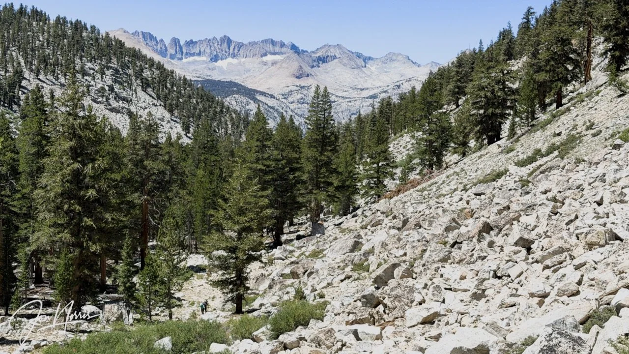
The High Sierra Trail along Wallace Creek | © 2026 Jon Norris
As you move up over 10,000 feet the trees start to thin out and you’re into the world of granite. Everywhere you look there’s granite. The trail is granite boulders, stones and pebbles. The flanks of the canyon are huge granite talus fields.
Thanks to the altitude gain and energy expenditure climbing it wasn’t difficult to convince myself to take a break and enjoy the stunning views.
I’m not sure that the images really do the landscape justice. Being there immersed in this gigantic landscape is absolutely breathtaking.
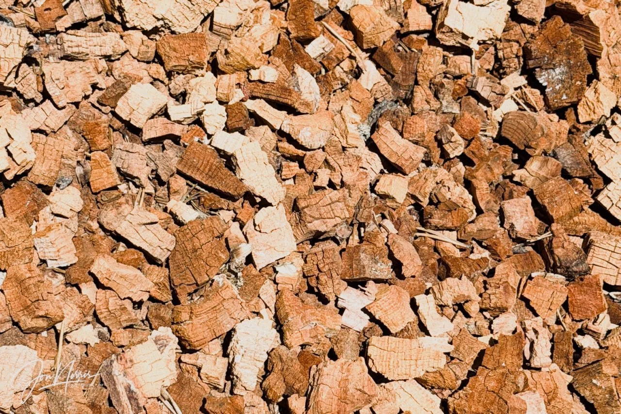
Wood chips from an old decaying tree trunk | © 2026 Jon Norris
I was also fascinated by the smaller scale natural beauty that abounds in the wilderness. The trail passed by an old dead tree trunk that had wood chips spilling out of it caused by the decomposition of the wood. They formed a natural jigsaw puzzle right next to the trail.
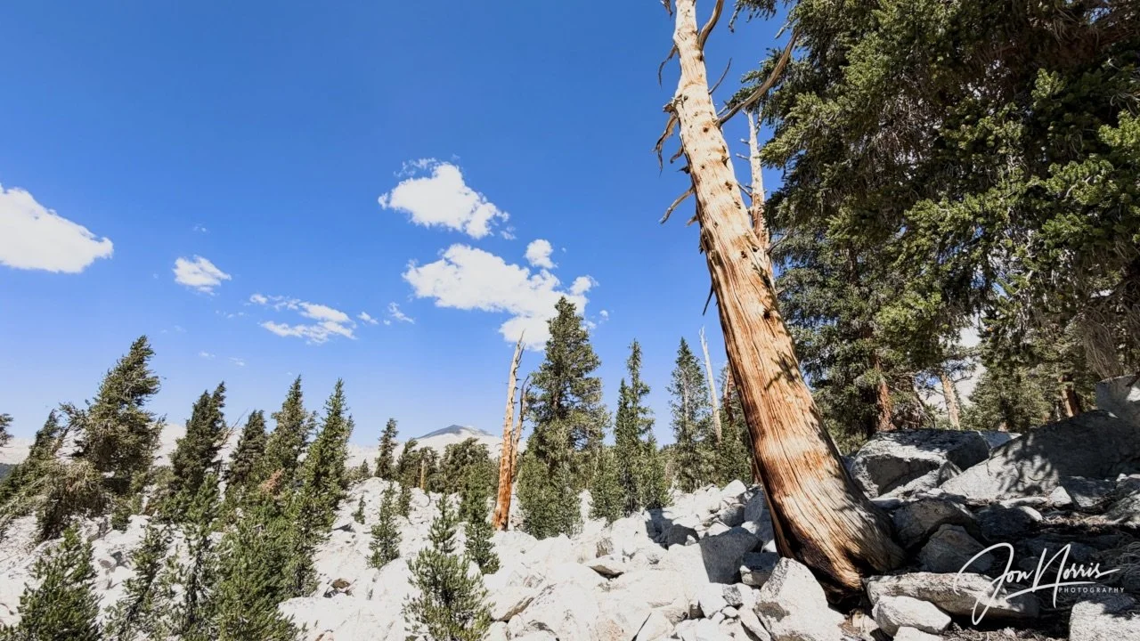
Dead trees bleached by the sun high up on the John Muir Trail | © 2026 Jon Norris
At the John Muir Trail we took a right at the junction and I was pleased (relieved) to see that the slope of the trail eased considerably. The next 3 to 4 miles were relatively flat or gently undulating. I was feeling good and picked up my pace and got into a good rhythm.
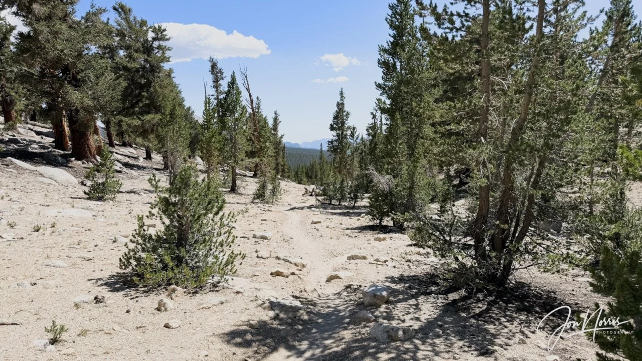
The John Muir Trail heading towards (but not visible yet) Mt. Whitney | © 2026 Jon Norris
Along this part of the trail we were still walking on granite—but now it was granite sand, composed of quartz and feldspar minerals resulting from the weathering and erosion of the granite rock.
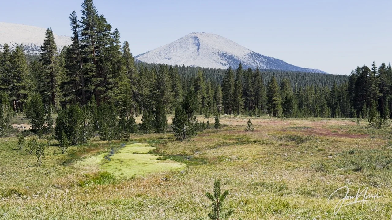
Looking towards Mt. Guyot from the John Muir Trail | © 2026 Jon Norris
A little further along the trail we came across a broad open meadow and beyond it standing tall above the trees was Mt. Guyot.
We continued following the Pacific Crest Trail for another couple of miles and then took a sharp left on the John Muir Trail. We were now heading straight towards the West face of Mt. Hitchcock and beyond that could see the ridge line that leads to Mt. Whitney.
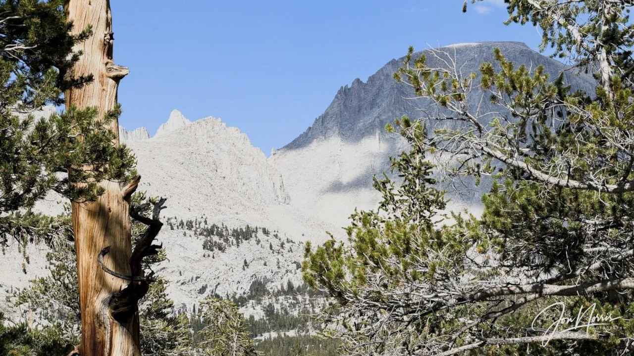
Looking up at the West face of Mt. Hitchcock and behind that the ridge line leading to Mt. Whitney from the John Muir Trail | © 2026 Jon Norris
The beautiful sun-bleached tree in the image below marked the start of the final mile before reaching camp. It had been a tiring but good day and after 3,300 feet of climbing I was ready to stop for the day.
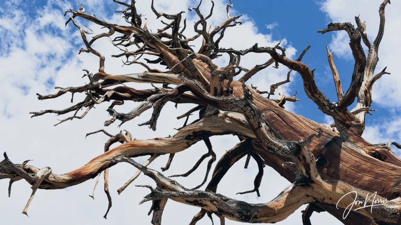
Reaching for the sky | © 2026 Jon Norris
As we approached Crabtree Meadow (one of the largest/busiest campsites on the JMT/PCT) the trees opened up to reveal Whitney Creek winding it’s way down from the Mt. Whitney ridge line.
We had a camp spot on the West of Crabtree Meadow and I was pleased to be away from the crowds. After soaking my feet in Whitney Creek (that cold water sure felt good), I stopped and took in tomorrow’s objective. The huge West face of Mt. Whitney off in the distance, book-ended by Mt. Russell and Mt. Hitchcock.
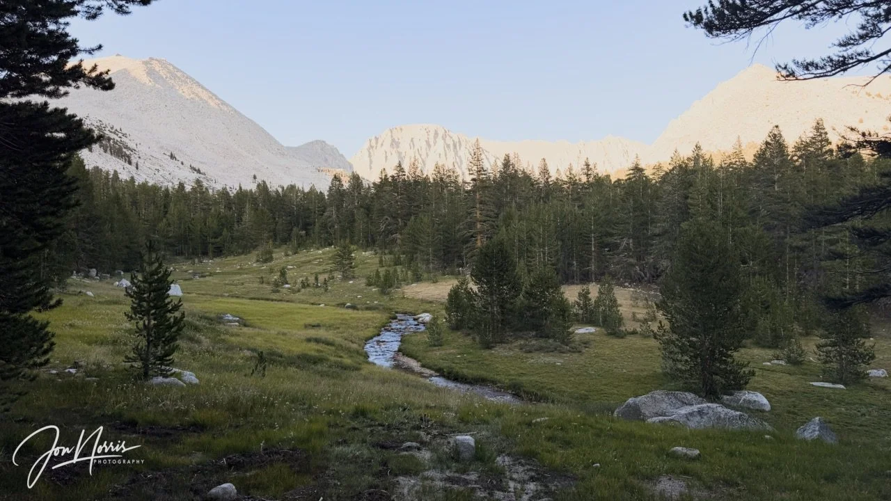
From L to R: Mt. Russell, Saiki Col, The Notch, Mt. Whitney, and Mt. Hitchcock | © 2026 Jon Norris
So close, but still so much to do.
Till next time - and Day 6!
Day 5’s Camp Reflections
Prompts from Sydney Williams, with my responses.
Daily Reflections:
What did you notice outside yourself today? Today’s hike featured some of the most spectacular scenery of the hike so far. Huge rock faces and sheer cliffs of granite, beautiful trees, and a clear, easy to follow path, as we merged with the John Muir Trail.
What did you notice inside yourself today? I noticed my capacity to hike at a good pace even while climbing throughout the day. My pace felt comfortable and positive; making good progress.
Where did the landscape match your inner experience? As we waited for some of the group to catch up, I sat with two others next to a river crossing and talked for about 45 minutes. As we talked, I was looking up at some huge granite cliffs, with snow still present in the cirque. I felt very chill, comfortable and peaceful.
Where did it challenge it? The last 2 miles to camp were a challenge for me. A mix of exhaustion and altitude made that last stretch hard work and I had to dig deep.
What moment from today do you not want to forget? Seeing the huge mass of Mt. Whitney from the edge of camp. The enormity and impossibility of hiking up there. It was a moment of complete awe.
Theme Reflections:
What did it feel like to join a larger trail current today? It felt in a way disappointing to meet more people on the John Muir Trail. We’d had 4 days of the backcountry to ourselves and now we had to share it..
Where did you feel connected to the group, and where did you need to stay connected to yourself? There have been a few ‘challenges’ over the last couple of days where the clarity of distances/timing has been in question leading to some safety concerns. This has made me feel disconnected from some in the group—but also made me feel closer to others.
What are you noticing as the energy of Whitney gets closer? I’m noticing that my confidence has waned slightly—can I really climb this mountain?.
Story Invitation:
How does your personal story fit inside this shared crossing? It’s reconfirmed to me the need to stay true to myself and my journey while supporting the journey of those people I want to help and support, and that’s it OK not to be a supporter of everyone.
