Trans-Sierra Backpacking - Day 1
Explore Landscapes #119
Day 1 of the Trans-Sierra backpacking route took us from Rowell Meadow Trailhead to Ferguson Creek / Sugarloaf [12.35 miles / 1,729 ft ascent / 2,559 ft descent]
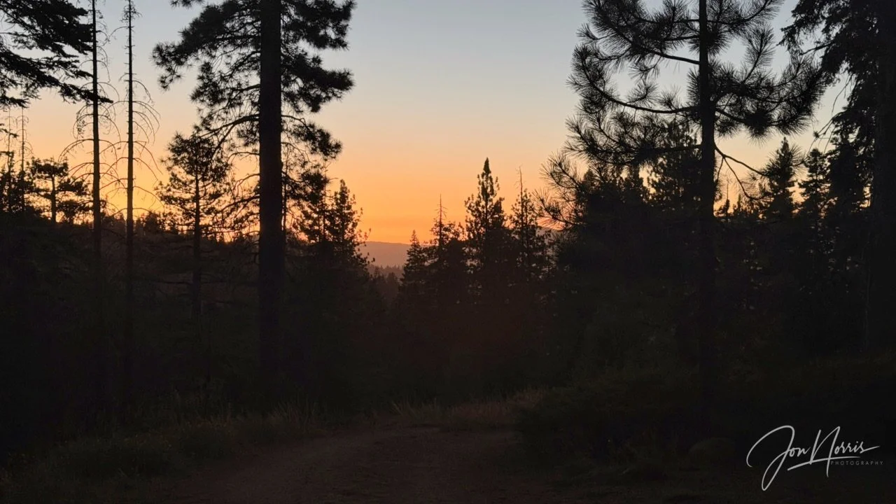
Sunset at Rowell Meadow Trailhead in Jennie Lakes Wilderness on Day 0 | © 2026 Jon Norris
Introduction
I just backpacked across the Sierras, through Kings Canyon and Sequoia National Parks, on a Trans-Sierra Xtreme Challenge (TSX) trek with the Reciprocity Rx™ team. Reciprocity Rx™ is the brainchild of Sydney and Barry Williams (aka Hiking My Feelings® and WITW Consulting).
Over the next few weeks I’m going to publish a post for each day of the trek featuring route descriptions and reflection prompts from Sydney Williams, my responses to those prompts, plus exerts from my journal that I kept during the trek. In those responses I’m opening myself up, and being 100% authentic and real, so please be kind. Plus, of course, I’m including images that I took along the way.
As a landscape photographer it was a hard decision for me not to take my ‘big’ camera with me. As I was hiking with a group, I knew that I’d only be able to take snapshots throughout each day, and that I’d be carrying supplies for eight days, so adding 5+ lbs in weight made no sense. Consequently, all images were shot on my iPhone 17 Pro Plus.
NOTE: trekking miles and ascent / descent varied significantly between the GPX route files (whether viewed on AllTrails or Gaia GPS) and the data that my Garmin Fenix 7X recorded as I was trekking (it varied by 15 miles over the 8 days). I’m going to be using the Garmin data in the posts. I’m going to do some digging to try and figure out why this might be. I’ll share what I find out!
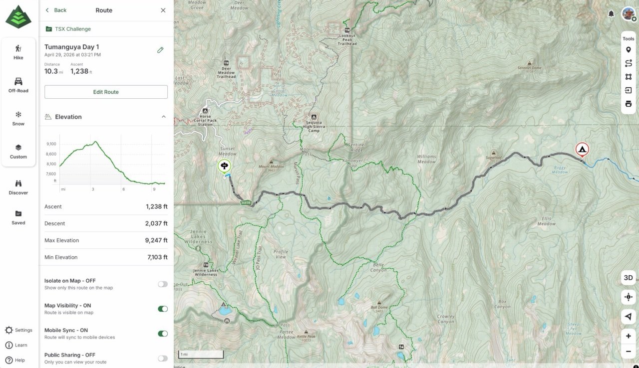
Tumanguya (Mt. Whitney) Backpacking Route - Day 1
Day 1’s Route Guidance
From Sydney Williams, “Day 1 is our threshold day: the moment this trek moves from maps and planning into the lived experience of walking through Sequoia and Kings Canyon wilderness.
Today we travel from Rowell Trailhead toward Ferguson Creek/Sugarloaf, moving through forested west-slope terrain, creek drainages, shaded conifer corridors, and the first real rhythm of backpacking together. The trail may shift between packed dirt, pine needles, roots, rocks, and damp creekside sections as we begin to settle into the landscape and into our bodies.
The invitation today is simple: arrive.
This is the beginning of a difficult journey, and hard is okay. Notice what you’re carrying — in your pack, in your body, and in your life — without needing to solve it all today. Let the forest narrow your attention to the next step, the next breath, the next sip of water, the next adjustment.
As we walk deeper into this wilderness, consider your relationship with Sequoia. What brought you here? What has this place seen you through? What does it feel like to move beyond the frontcountry and into the deeper interior of a park that has already been part of so many of our stories?
Today’s reminder: you do not have to carry the whole journey at once. Just this mile. Just this breath. Just this beginning.”
Trans-Sierra Backpacking - Day 1
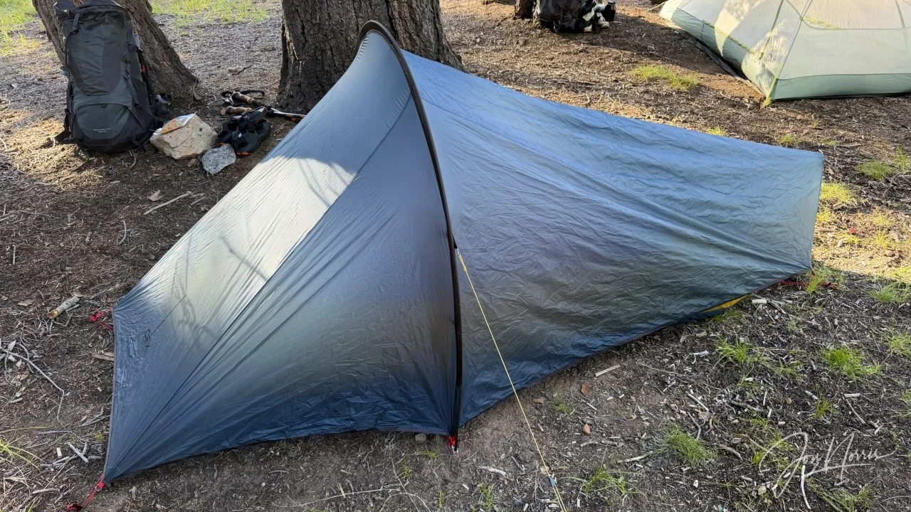
Home for the next 8 nights | © 2026 Jon Norris
On day zero, after arriving at the Rowell Meadow trailhead, the first job was to quickly re-assess what I was going to take with me, and what was I going to leave on the van that would eventually meet up with us on the other side of the Sierras in eight day’s time.
I’d already thinned out what I was taking (as much as I thought was possible) during our stay at the Wolverton Volunteer camp in Sequoia. However, knowing that the long-term forecast was for hot sunny days, I decided not to take my base layer (thermals). I figured that I’d be sleeping hot (as I normally do) and that at worst, wearing my puffy and a beanie to bed would suffice.
I put up my tent and climbed in. I was probably asleep by 8:30pm. It had been an exhausting day, for a bunch of reasons that I won’t get into here, just getting to the trailhead, and I was done in.
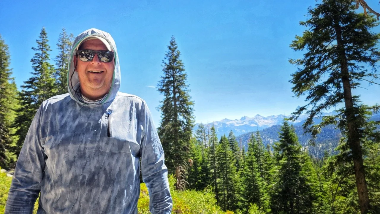
What a way to spend my birthday. So this is what 58 looks like | © 2026 Barry Williams
I was awake just before 5am and as I came to I registered that today was my 58th birthday. I started my day with two cups of coffee—which were much needed and they hit the spot. The team sang me happy birthday and then it was time to move onto more important things—namely breakfast. A toasted bagel with cream cheese and then a banana got me ready for the day ahead. Shit was about to get real!
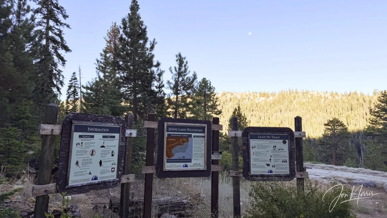
Jennie Lakes Wilderness info boards by the trail | © 2026 Jon Norris
As the sun rose we got packed up and left camp, heading Eastwards towards the Jennie Lakes Wilderness (a protected area in the Sierra Nevada, in Tulare County, managed by the US Forest Service).
From the USFS website, “The 10,500-acre Jennie Lakes Wilderness is a lovely mixture of lakes, meadows, forests, and streams. Mostly above 7,000 feet in elevation, this wilderness contains scenic variations of alpine and sub-alpine forest of White & Red Fir, Lodgepole Pine, Western White Pine, Jeffrey & Ponderosa Pine, with an abundance of wildflowers in the spring and summer. The summit of Mitchell Peak is the highest point within Jennie Lakes Wilderness at 10,365 feet. Four trailheads access 26 miles of trails within the wilderness. Several of these trails also connect to Sequoia & Kings Canyon National Park's enormous backcountry.”
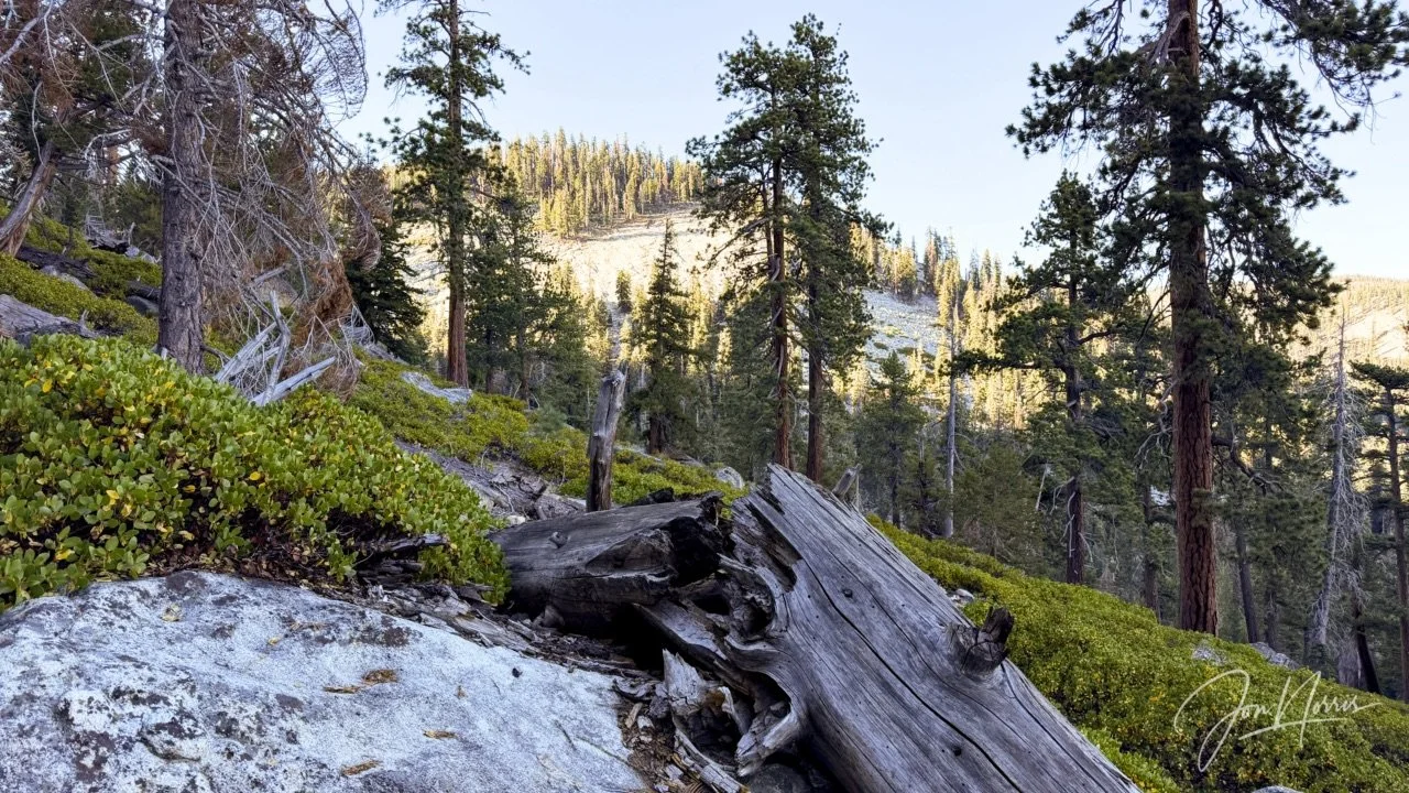
Early morning light in Jennie Lakes Wilderness | © 2026 Jon Norris
As any of you who have read more than a few of my posts will know, I spend much of my time hiking and photographing in the desert, specifically Joshua Tree National Park. Now I love the desert, but I have to say, the forests and mountains of the Sierra’s come a close second in my heart.
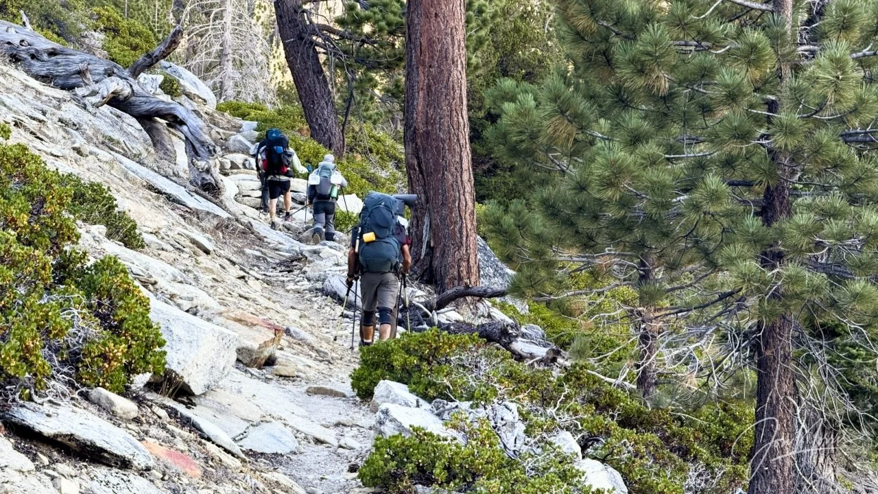
The first of many inclines we’d experience over the coming 8 days | © 2026 Jon Norris
I knew that I’d feel a little sluggish for the first mile or so. That’s always the way with me when I start hiking. A mixture of getting the body moving mixed in with energy being directed to the stomach to digest breakfast.
After that initial mile or so, I felt really good and the next few miles went by quickly and easily, without me feeling tired or strained at all—despite the fact I was still getting over my Asia jet lag.
It was so exciting to be gaining altitude and with it visibility, and seeing the views morph and change around each and every corner.
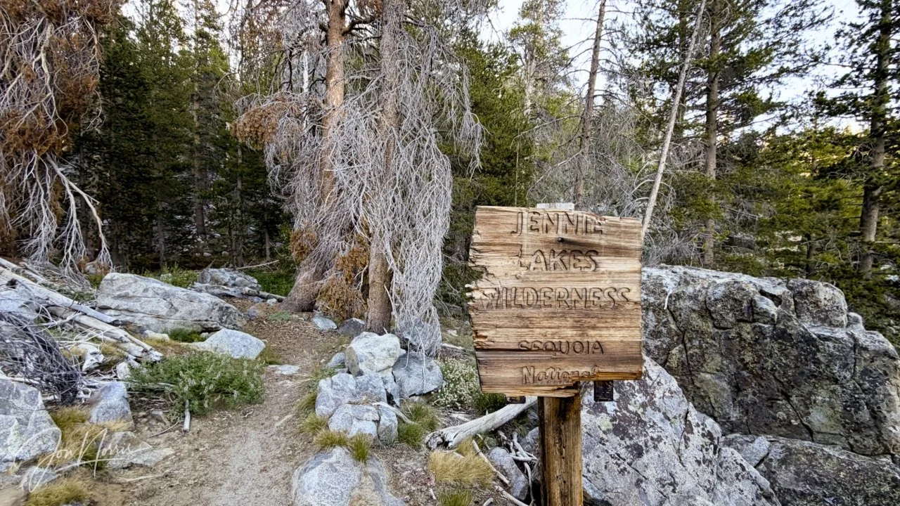
Transitioning from the Jennie Lakes Wilderness and into the Sequoia National Forest | © 2026 Jon Norris
I want to give a shout-out to LactiGo, who’d provided us with some of their topical muscle gel (it’s a blend of menthol, carnosine and magnesium) that you apply before exercise. I didn’t suffer from any cramps (which I sometimes do) and had very little muscle pain, throughout the backpacking trip.
In the previous couple of months I had done about 100 miles of training by hiking local trails close to me in OC—while carrying my loaded backpack—but was apprehensive about how I’d do in the Sierras.
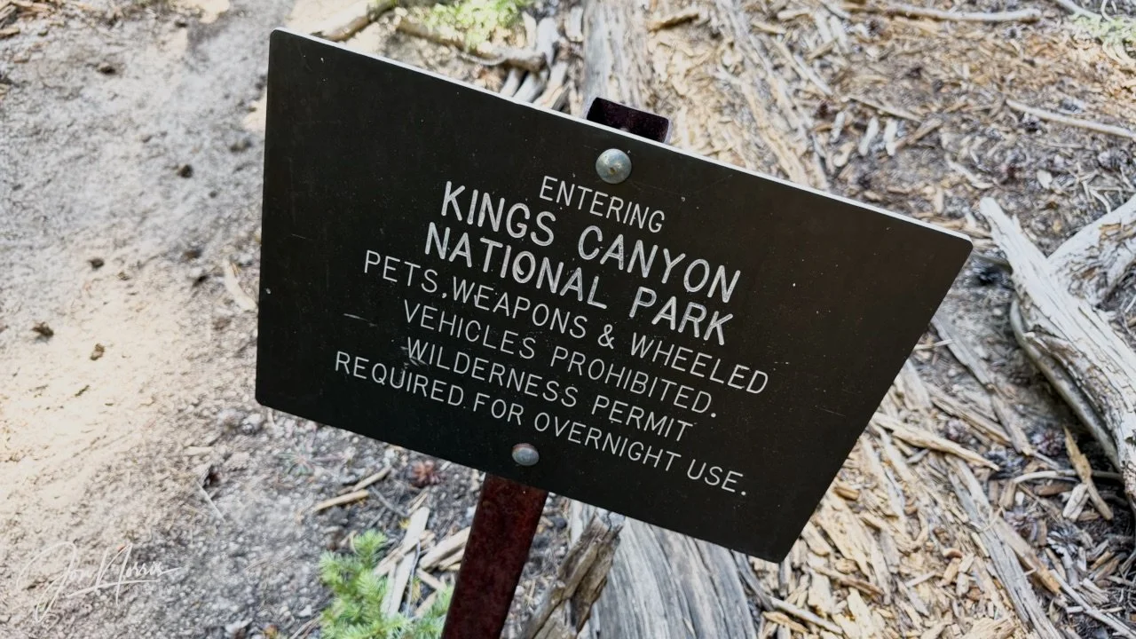
Transitioning from the Sequoia National Forest and into Kings Canyon National Park | © 2026 Jon Norris
We were a large group (15 in total) and for much of the hike we could hike at our own pace. The pace of the group was mixed, however, I was pleased to find myself roughly in the middle in terms of pace. This suited me as I’m typically a thinker rather than a talker when I hike, so I enjoyed finding the sweet spot where I could indulge in the silence of the wilderness, without feeling like I had to interact with the group all the time.
This meant that the group did get stretched out on certain areas of the trail, so we had semi-regular breaks so that we could regroup and recharge.
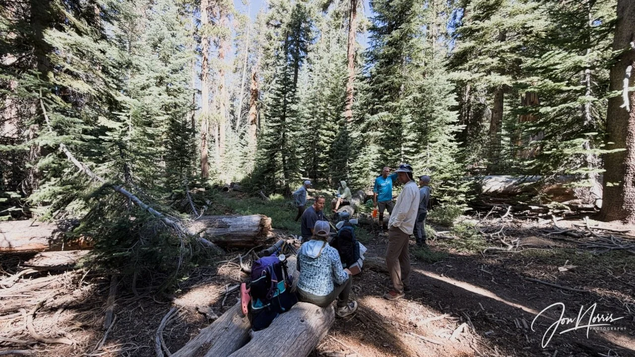
Taking a break and waiting for the rest of our crew | © 2026 Jon Norris
This wasn’t ideal (from my point of view) because after stopping for 30-45 minutes, it was a little difficult to get started again. However, after the next quarter of a mile or so you found your hiking legs again.
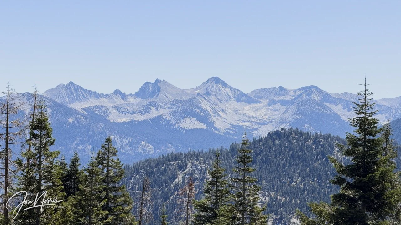
Kettle Peak, Twin Peaks, and Kettle Dome (I believe) from the trail | © 2026 Jon Norris
As we transitioned from Jennie Lakes Wilderness, into the Sequoia National Forest, and then into Kings Canyon National Park, gaining altitude all the time, the scenery just got more and more stunning.
It was incredible to realize that 99.9% of the US population would never get to see this landscape. There are no roads to get out here. No parking lots to pull into, take a photo, and then drive off.
I love to be able to identify peaks while I’m hiking and was annoyed with myself when I realized that I hadn’t downloaded the update for the app Peak Finder—which makes identifying peaks so much easier than trying to triangulate with a map.
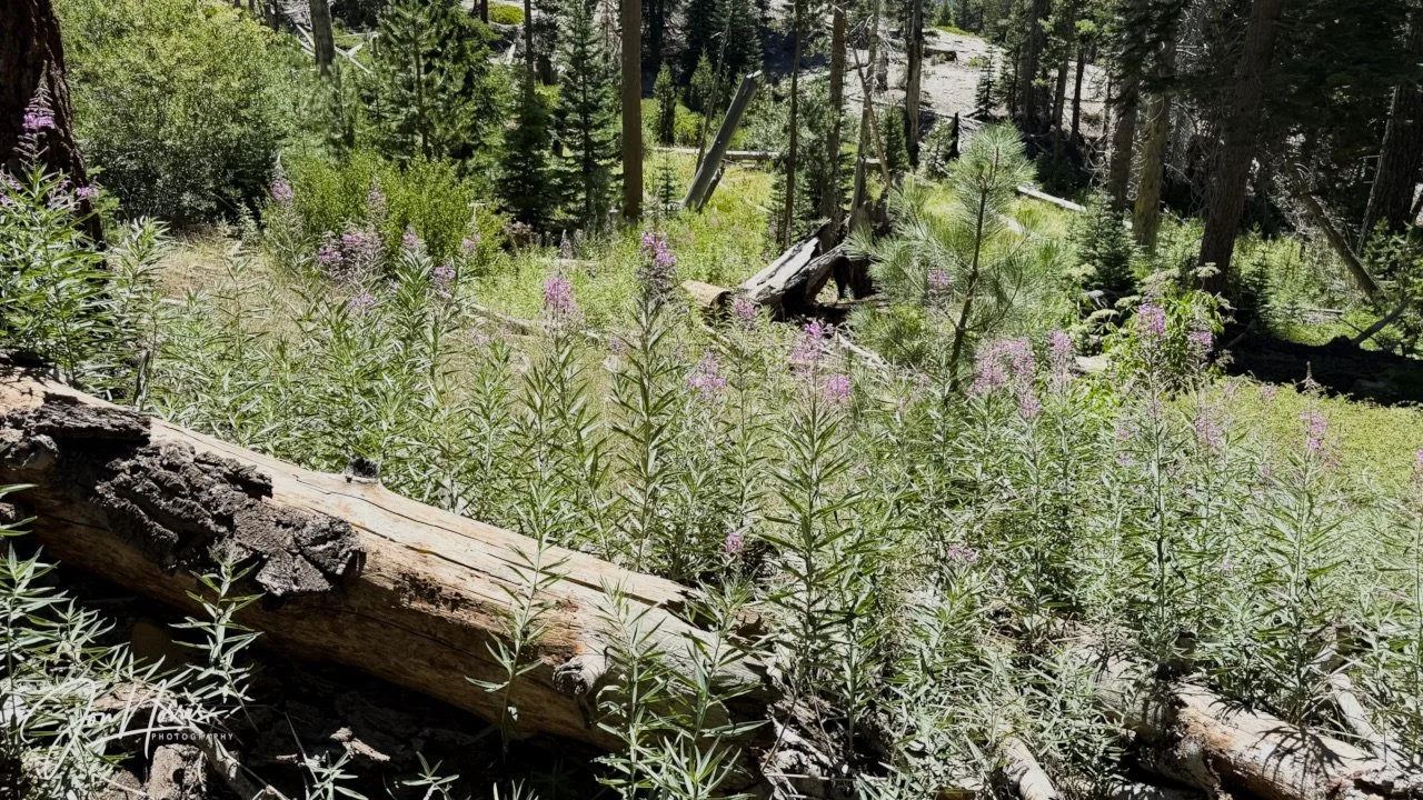
Narrowflower Lupines and Diffuse Groundsmoke surrounded this fallen trunk in Pond Meadow | © 2026 Jon Norris
It was very hot during our hike (~75℉), and despite being at between 8,000 and 9,000 feet for much of the day, it was difficult to regulate your temperature.
Fortunately the trail featured numerous small creek crossings, and at each one, I would immerse my bandana and cap into the cold water. This provided much-needed relief from the heat, but within 20 minutes they were dry again. It was a definite ‘rinse-and-repeat’ activity for much of the day.
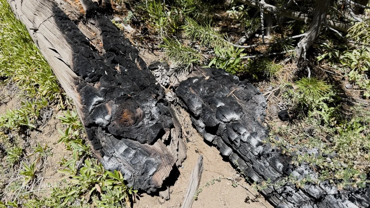
A burnt tree limb being slowly re-absorbed into the forest | © 2026 Jon Norris
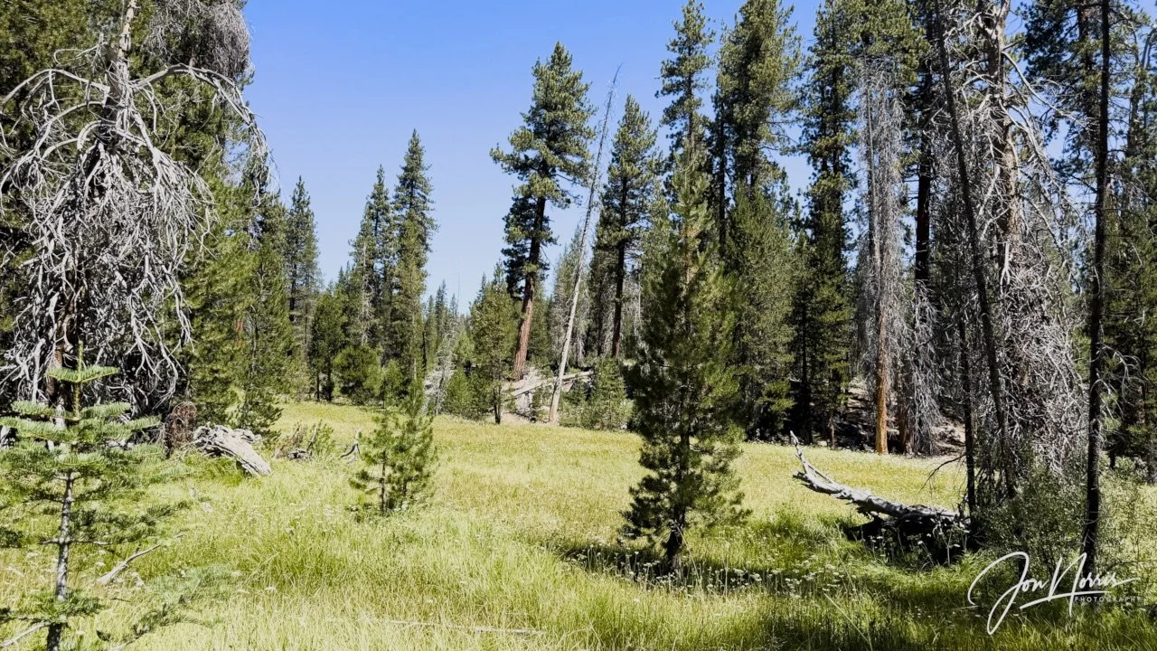
Williams Meadow | © 2026 Jon Norris
We hiked through a series of forested areas each separated from the next one by a wonderful, lush, open meadow: Rowell, Pond, Williams, Comanche, Sugarloaf.
I imagine that these meadows are pretty boggy during the fall and early spring, but when we passed through them, they were springy underfoot and pretty much dry—just the occasional muddy patch that was easily avoided.
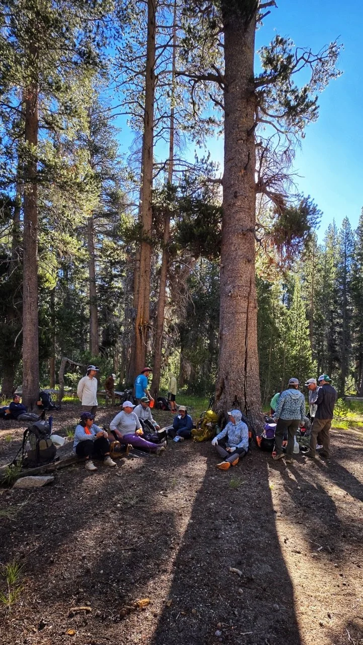
Finding the shade | © 2026 Barry Williams
Shade was always at a premium, so the you found it you claimed it. I’m in the blue top with orange soles in the image above, sat squarely in the shade of a huge tree.
After a hearty lunch, we got going again and made our way to camp. My jet lag had well and truly kicked in by that time of the afternoon, so the last few miles to camp, were a bit of a blur.
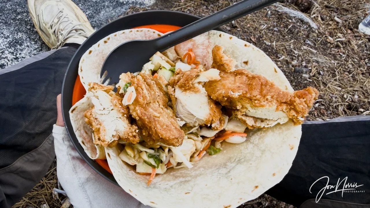
Lunchtime—and yes, that fried chicken tasted great | © 2026 Jon Norris
It was an amazing first day of the hike, and I thoroughly enjoyed my birthday. Just after dinner (that disappeared very quickly) the team surprised me with another rendition of ‘Happy Birthday’ and I got to blow out a candle (a flaming twig) on my birthday cake (a mini-snickers bar).
I was so tired by the time we reached our camp spot that I completely forgot to take any photos until the next morning.
Till next time - and Day 2!
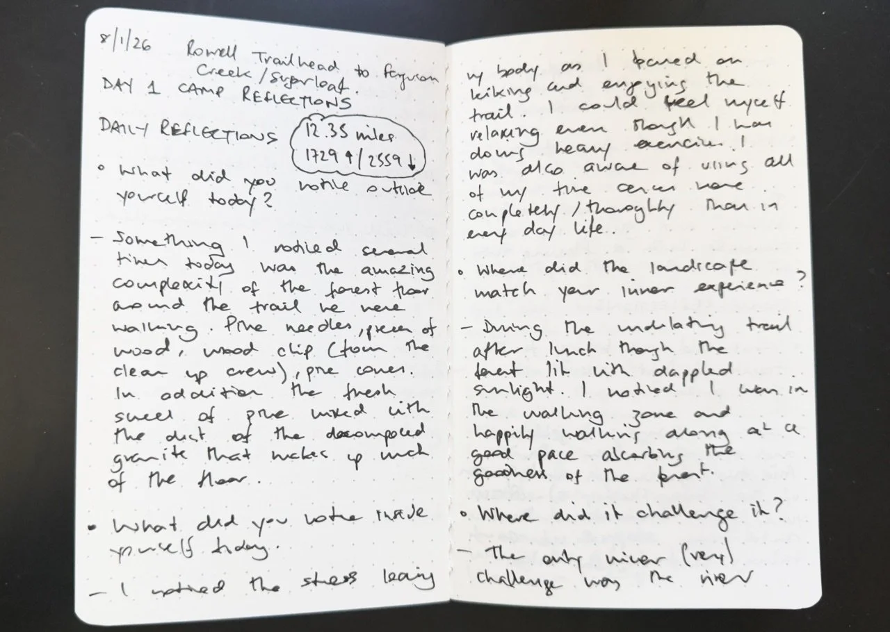
My trail journal that I wrote in (excuse the chicken scratch) each day of the hike | © 2026 Jon Norris
Day 1’s Camp Reflections
Prompts from Sydney Williams, with my responses.
Daily Reflections:
What did you notice outside yourself today? Something I noticed several times today was the amazing complexity of the forest floor around the trail we were walking. Pine needles, pieces of wood, wood chip (from the clean up crew), pine cones, stones, rocks, etc. In addition, the fresh smell of pine trees mixed with the dust from the decomposed granite that makes up much of the forest floor.
What did you notice inside yourself today? I noticed the stress leaving my body as I focused on hiking and enjoying the trail. I could feel myself relaxing even though I was doing heavy exercise. I was also aware of using all my senses more completely/thoroughly than in every-day life.
Where did the landscape match your inner experience? After lunch we followed an undulating trail through the forest lit with dappled sunlight. I noticed that I was completely focused and hiking at a good pace absorbing the goodness of the forest.
Where did it challenge it? The only minor challenge was the river crossing where I mis-stepped, slipped and only just rebalanced myself before falling into the river.
What moment from today do you not want to forget? The team singing me Happy Birthday and giving me a mini-snickers with a flaming twig in it for a for a birthday cake.
Theme Reflections:
What did you bring to the trailhead that wasn’t in your pack? A few things: 1) jet lag and exhaustion from the Asia trip (I only had 2 days at home between arriving back from Hong Kong and leaving for Sequoia); 2) nervous anticipation of the hike itself (would I be up to the challenge?); 3) stress from yesterday’s truck breakdown (the rear leaf springs collapsed on the way to the hike meeting point) that could have ended the hike before it started.
What helped you come back to this day, this mile, this breath, this beginning? The conversations with old, and new, friends, the trail banter, and being completely absorbed in the wilderness every step of the trail.
What has Sequoia seen you through, and what does it feel like to walk deeper into its wilderness? In the last few years I’ve been to Sequoia four times. It’s been a place of deep reflection for me and somewhere that I know can give me some peace and clarity. It has helped me decide what’s important for me and what direction I want to take my life (together with my amazing wife, Jackie), so we can live our best life.
Story Invitation:
Where does your story of getting to this trailhead really begin? I think my story begins when I was suddenly ‘let go’ by a previous employer (now almost nine years ago). It was a rude-awakening and a difficult time for me personally. I lost my self-confidence, and my sense of identity. Since that time I’ve been challenging myself with what I really want to do next. Overwhelmingly I want to get out of corporate life and do something more personally satisfying and fulfilling. Hopefully it’ll be something that blends my love and interest in landscape photography, the outdoors, with teaching/leading.
