Silence. Solitude. Space.
Explore Landscapes #80
Joshua Tree National Park is my happy place. It's also where I go when the world is just too much and I crave (need) silence, solitude, and space.
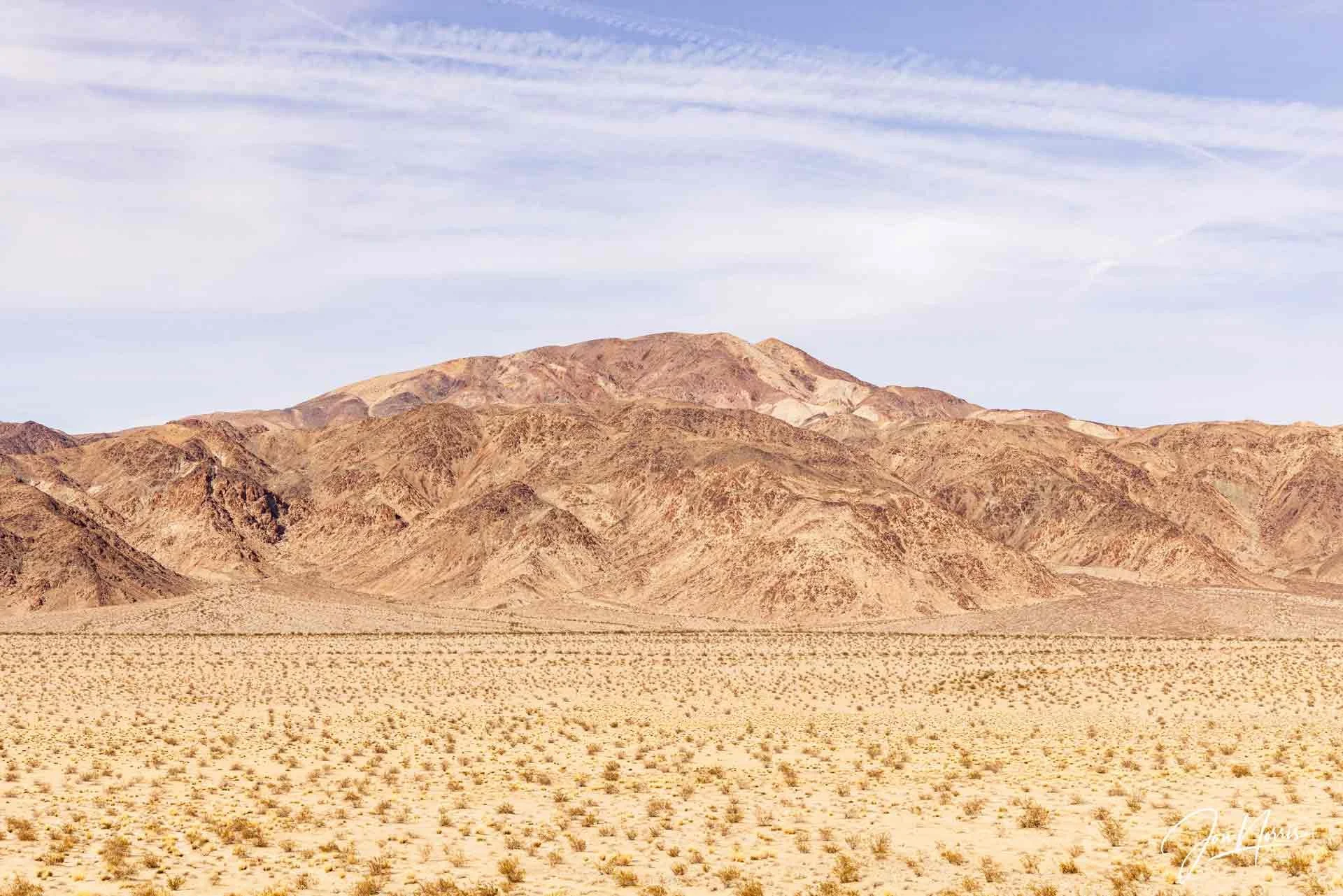
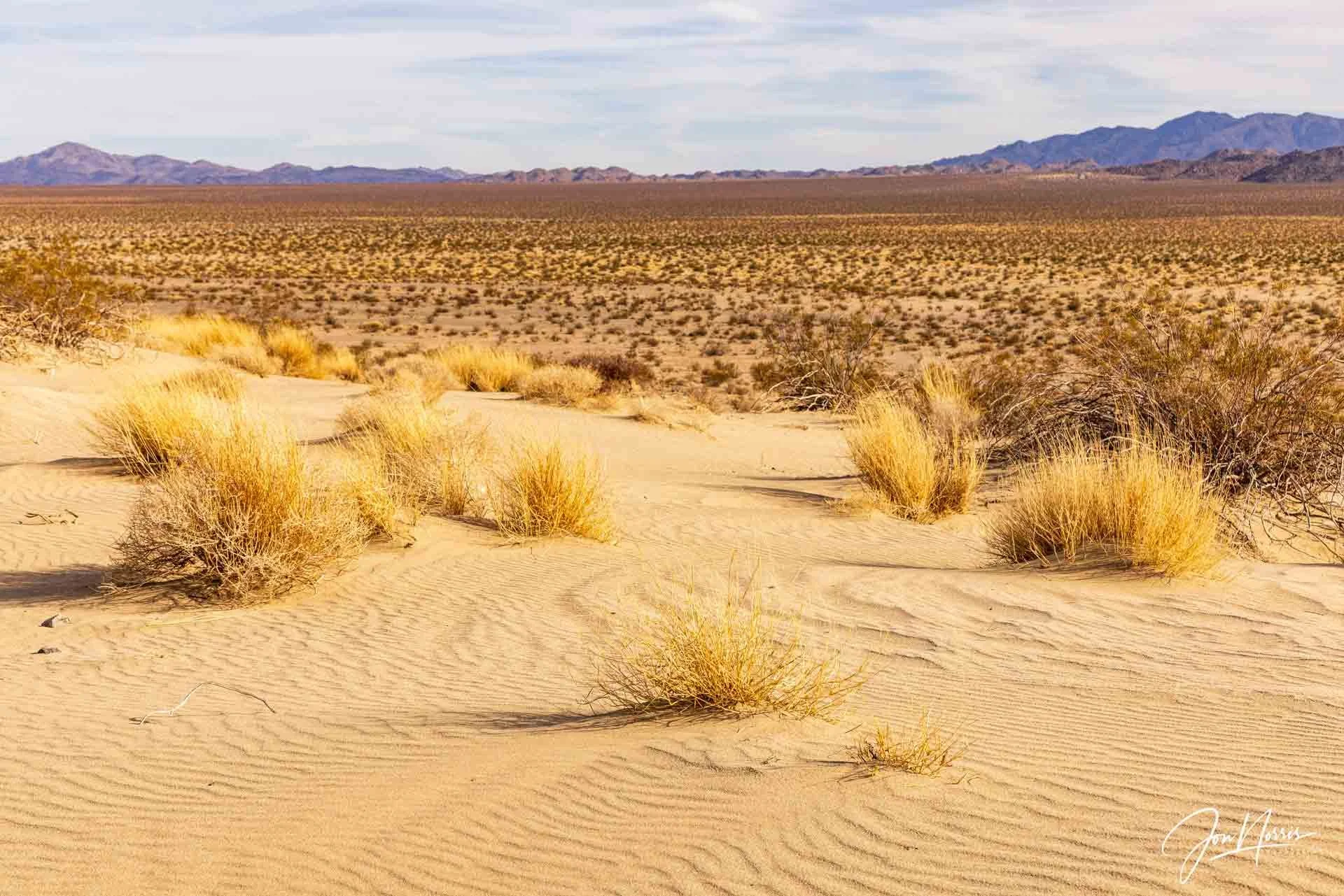
Pinto Mountain from the Sand Dune | © 2025 Jon Norris
The last few weeks have taken their toll on me as the ‘madness’ has increased my stress levels. If you’re a decent human being, with a healthy set of morals and beliefs, and someone who has empathy and cares about others, then you’ll understand what I mean.
Saturday morning came around and it was time to head off to the desert. I had a sunrise workshop booked for Sunday morning, and three scouting hikes that I wanted to get done before heading home on Sunday evening. It was going to be a busy weekend.
I’ll save my first two scouting hikes for other articles, and start with the third (last) hike.
Pinto Basin Road stretches 36 miles from the Northern part of Joshua Tree National Park (in the Mojave Desert) down to the Southern park entrance near the Cottonwood Visitor Center (in the lower, Sonoran Desert).
Most visitors consider this part of the park to have no interesting or redeeming features, and drive the full 36 miles without stopping. I did when I first visited Joshua Tree. This was a mistake on my part. In subsequent visits I’ve found there’s a lot to see if you just get out of the car and hike.
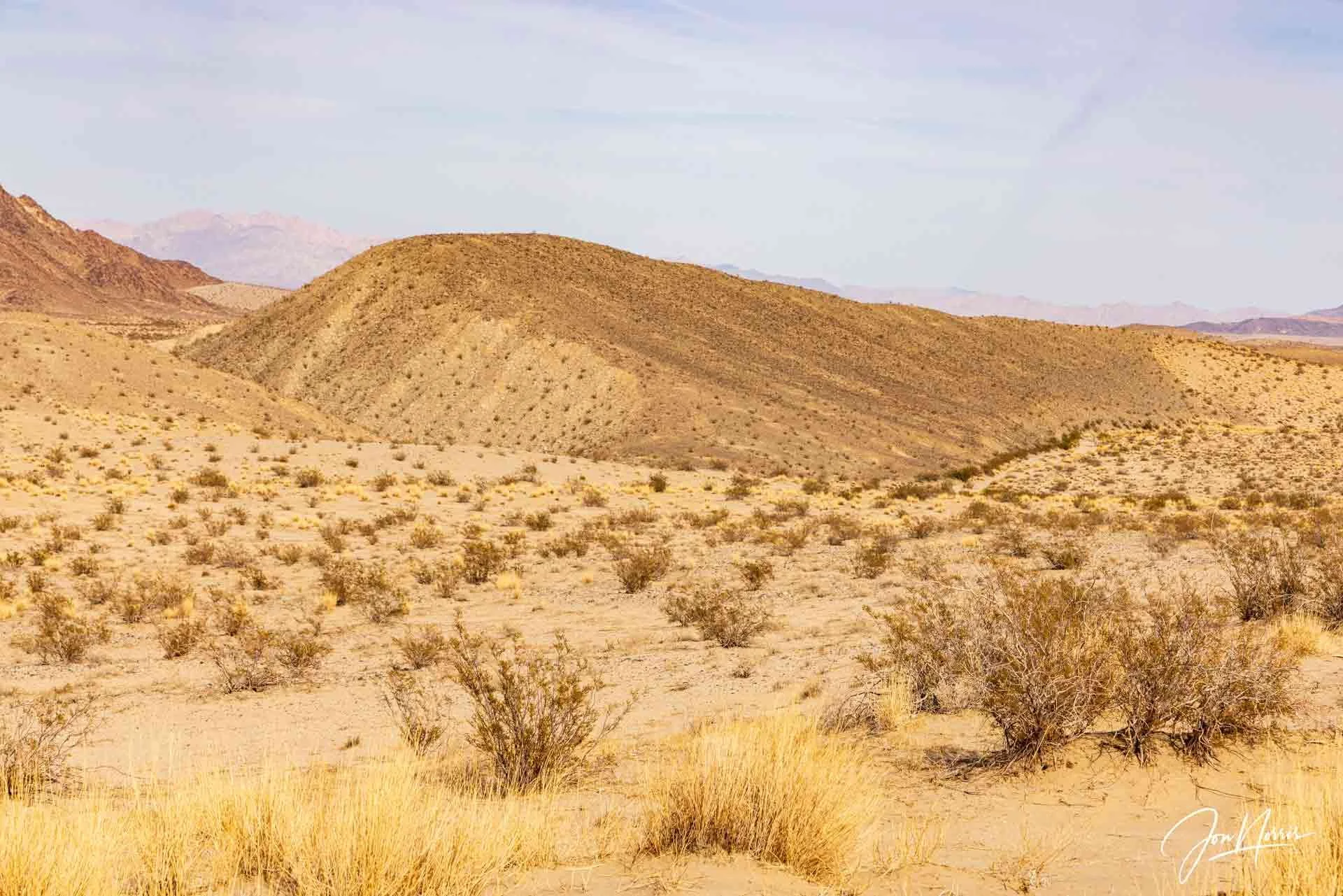
As you head south from Pinto Wye you pass a number of places that are all worth a visit: Twin Tanks (for Arch Rock), Cholla Cactus Garden, Ocotillo Patch, Turkey Flats, Fried Liver Wash, Porcupine Wash, the Old Dale and Black Eagle 4WD trails, Smoke Tree Wash, and eventually the Cottonwood Oasis and Visitor Center.
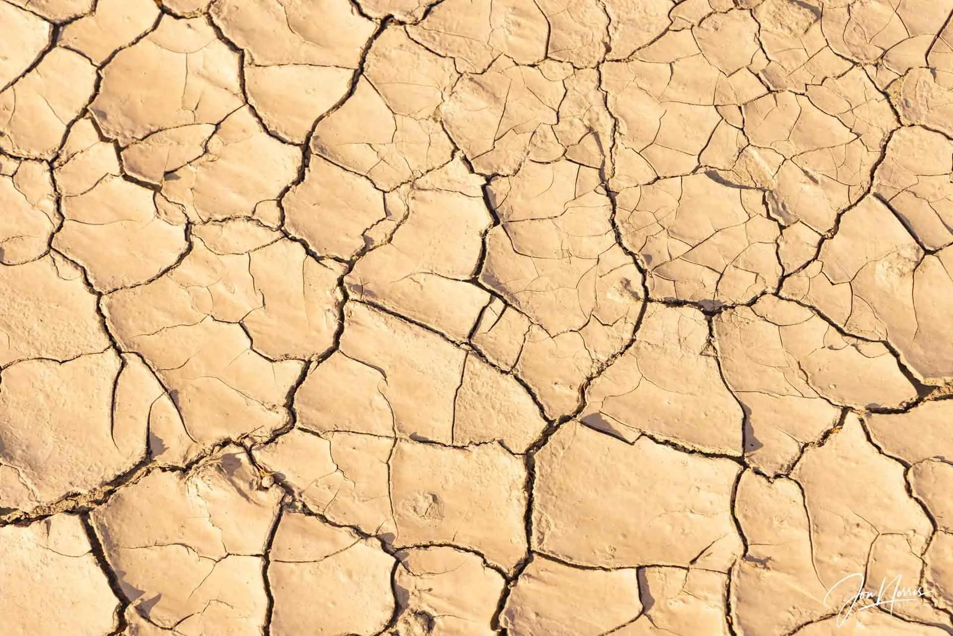
Mud Cracks 1 | © 2025 Jon Norris
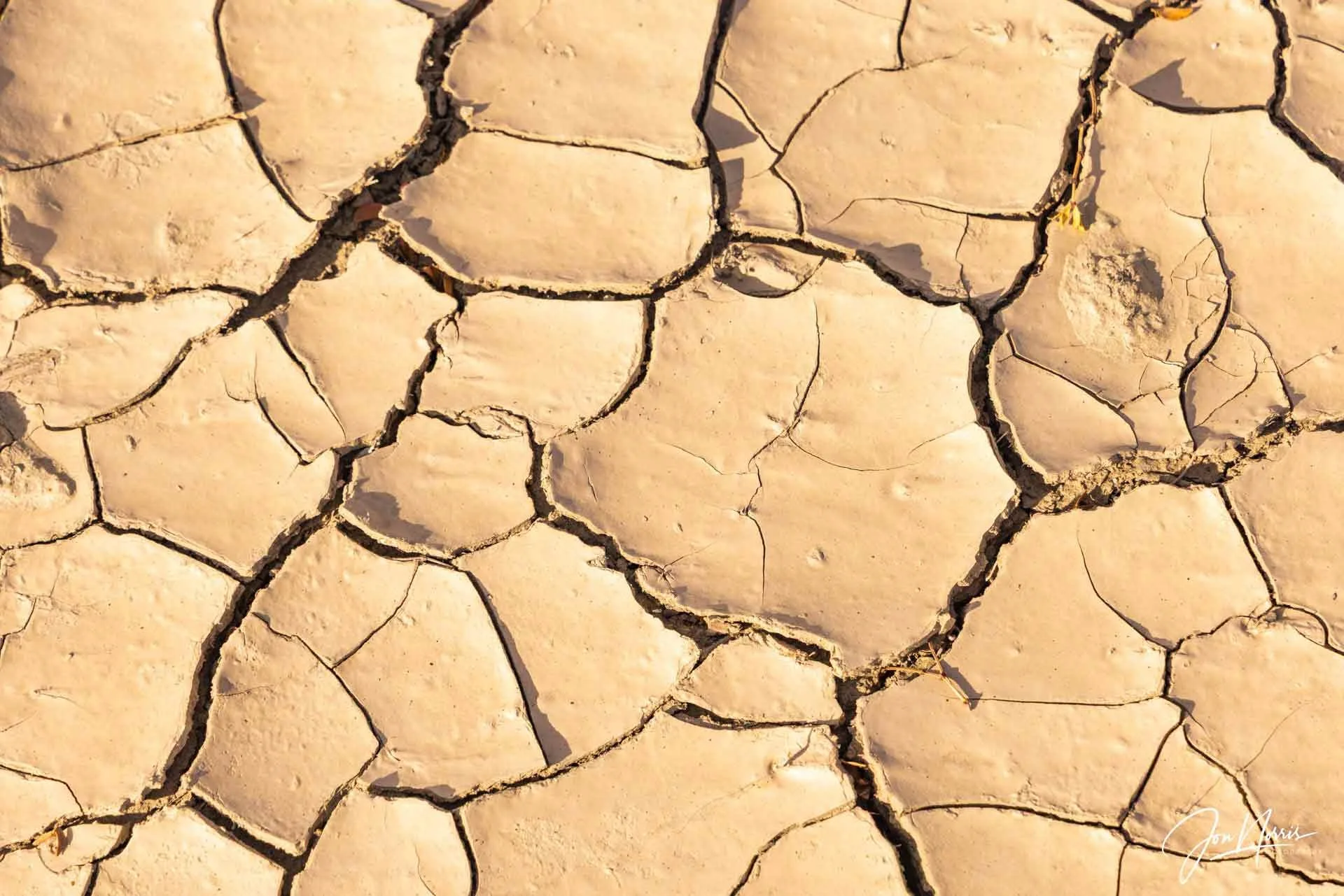
Mud Cracks 2 | © 2025 Jon Norris
As you descend past the Cholla Cactus Garden you can’t fail to see the huge granitic form of Pinto Mountain on your left. The ridge line extends for miles and towers over the flat desert floor below. At it’s base, two alluvial fans spread out from canyons descending from the peak, partially obscured when viewed from the road, by a long sand dune.
I’ve driven down Pinto Basin Road many times, and although I’ve stopped at many points along the road to photograph, I’ve never explored the sand dune. Time to change that.
I’d done some research on Google Earth to determine exactly where the sane dune is located, as due to it’s minimal elevation (130 ft / 40 m), it’s not immediately obvious to see it on a topo map.
There is no trail to the sand dune so I took a bearing, identified a specific feature on the ridge line, and started hiking straight out into the desert. As I hiked I soaked in the silence, solitude, and space of this beautiful desert wilderness.
Looking up at the Sand Dune | © 2025 Jon Norris
For me there’s something very cathartic about being such a tiny insignificant ‘thing’ in an immense open space like the Pinto Basin.
At that specific time I was probably the only person hiking in an area of approximately 150 square miles (388 square km / 96k acres).
After a little more than a mile, I reached the end of the sand dune, turned to the right and was looking straight up at the end of the dune.
I headed up the sand dune and very quickly reached the top. It was only 130 feet up after all. I continued along the ridge until I found a spot that afforded me incredible 360° views.
Part of my ‘mission’ on this hike was to photograph a panorama of the Pinto Mountain range to the North, and of the Hexie Mountains and Mary Peak to the South of the road.
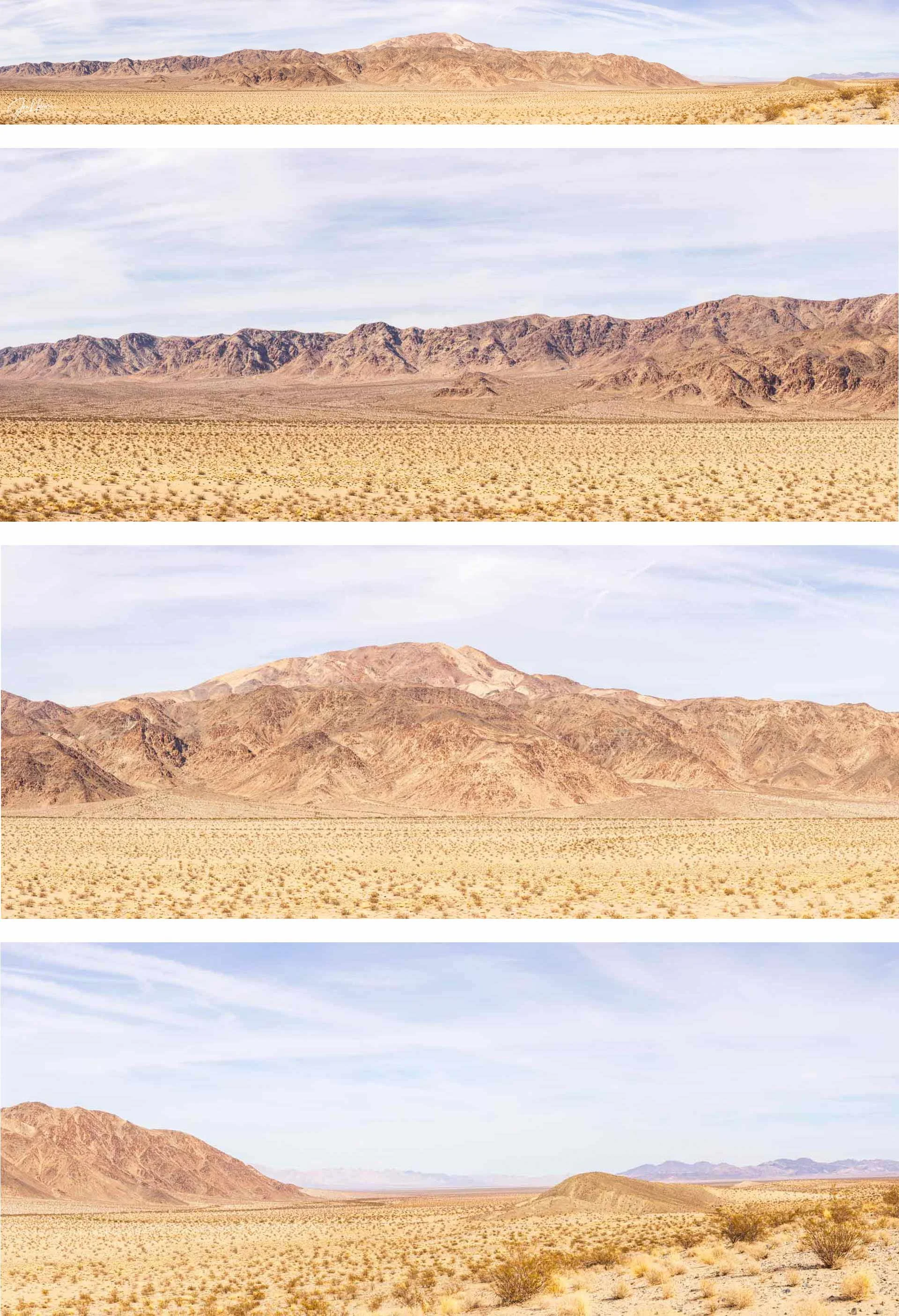
Top to Bottom: Pinto Mountain panorama, left, center and right slices of pano | © 2025 Jon Norris
As I was on top of the sand dune I could see the full height of Pinto Mountain including the ‘Bajadas’ (geological features that form when neighboring alluvial fans coalesce along a mountain front, creating a gently sloping landform that extends from the base of the mountains into the valley floor).
The images above and below show the full panoramas at the top and then a close up of the left, center, and right third of the pano, so you can see more detail.
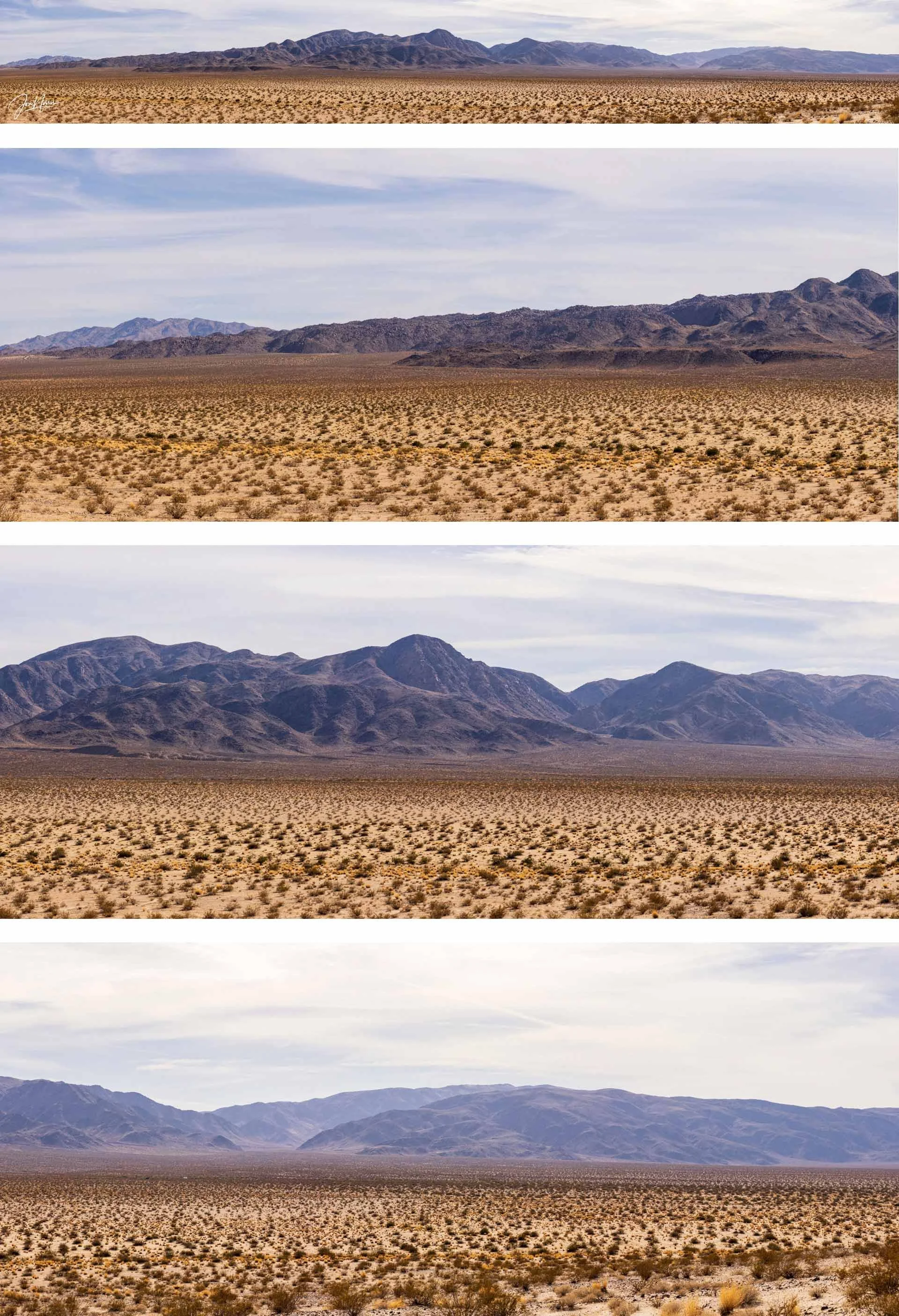
Top to Bottom: Mary Peak and the Hexie Mountains panorama, left, center and right slices of pano | © 2025 Jon Norris
After taking the panoramas I sat down on the dune, had some water (with electrolyte), a snack, and took it all in. I slowly scanned the foreground, mid-ground, and background in every direction, and apart from the occasional car in the distance, I saw nothing man-made. Just the rawness and beauty of nature.
Ahh. Silence. Solitude. Space.
A sense of calm, tranquility, and peace came over me.
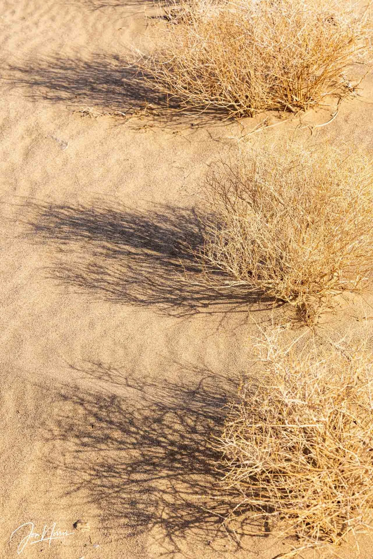
Sand waves and shadows | © 2025 Jon Norris
I spent some time exploring the sand dune, fascinated by the wind blown ripples in the sand, and the shadows cast by the late afternoon sun.
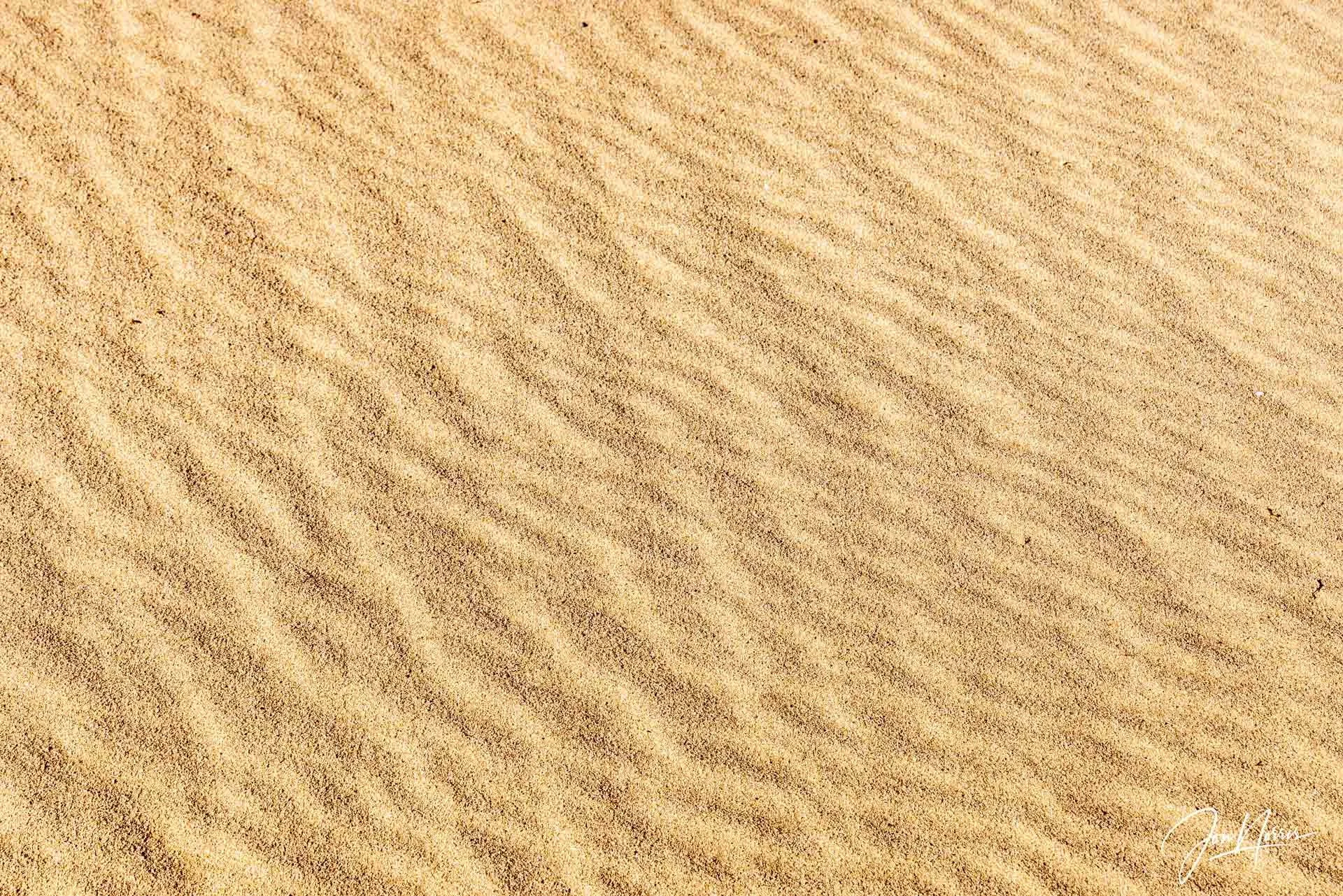
Sand ripples | © 2025 Jon Norris
Eagle Mountains (left) and Hexie Mountains (right) from the top of the sand dune | © 2025 Jon Norris
I could have spent several more hours exploring and photographing, but knew that I needed to get going and head back to the truck, have some dinner, and then get on the road home.
Another sand dune for my next visit | © 2025 Jon Norris
I walked to the end of the sand dune, only to find another taller sand dune facing me. That would have to wait for my next visit I decided.
Even from the top of the sand dune I could not see my truck, so again relied on a map bearing, and by happenstance, it lined up with the summit of Mary Peak, making it very easy to walk in a straight line for the mile or so back.
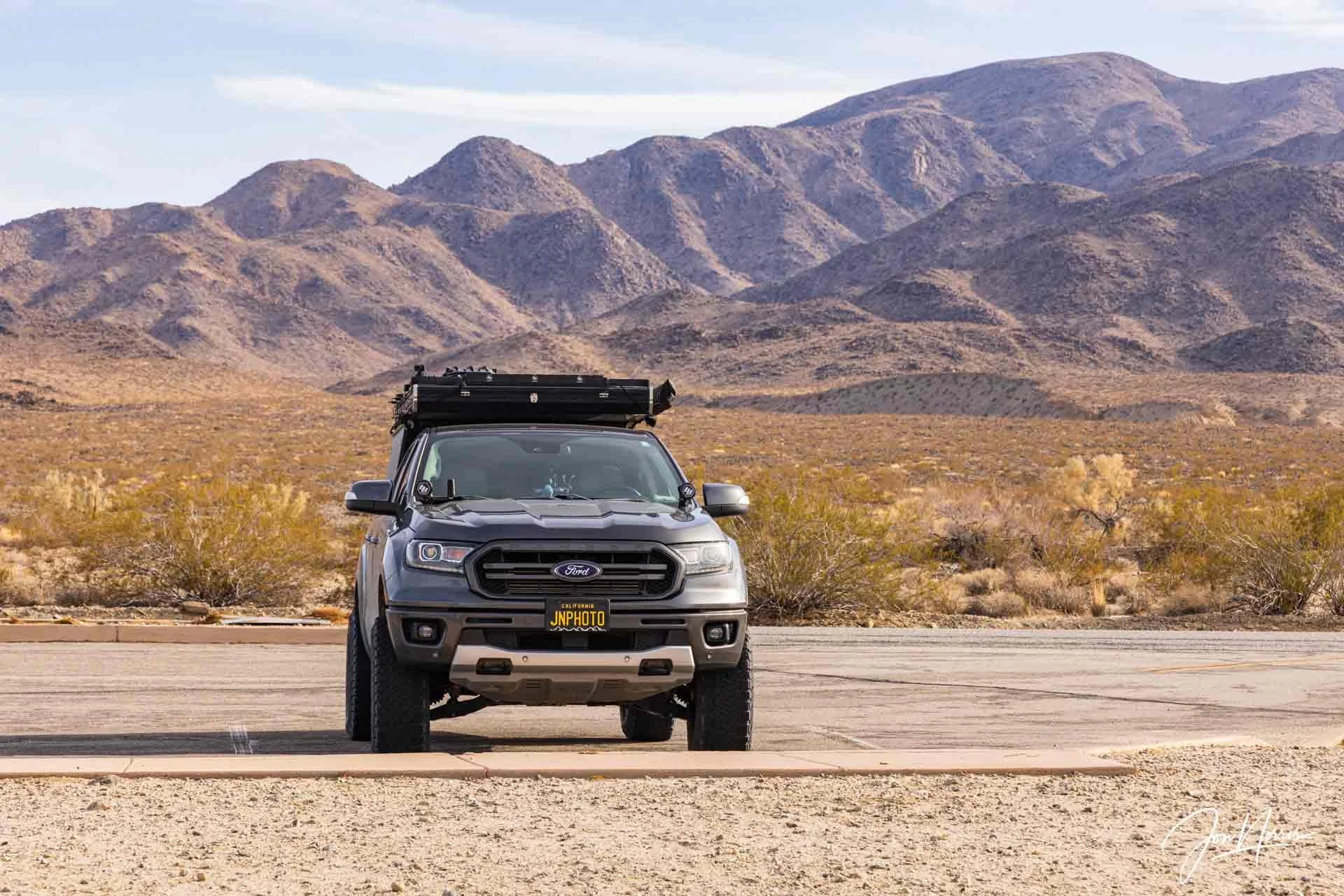
Back with Rufus for dinner and the drive home | © 2025 Jon Norris
I enjoyed my tailgate dinner (a huge salad and an Athletic Hazy IPA NA beer) staring up at the Hexie Mountains reflecting on what had been an excellent weekend.
With the photographs taken, and the memories of the silence, solitude, and space of Pinto Basin taken onboard, I feel that I can dip back into them when needed in the weeks ahead.