Explore Landscapes #127
Day 7 of the Trans-Sierra backpacking route took us from Crabtree Meadow to High Desert Camp above Rock Creek [11.92 miles / 2,334 ft ascent / 2,063 ft descent]
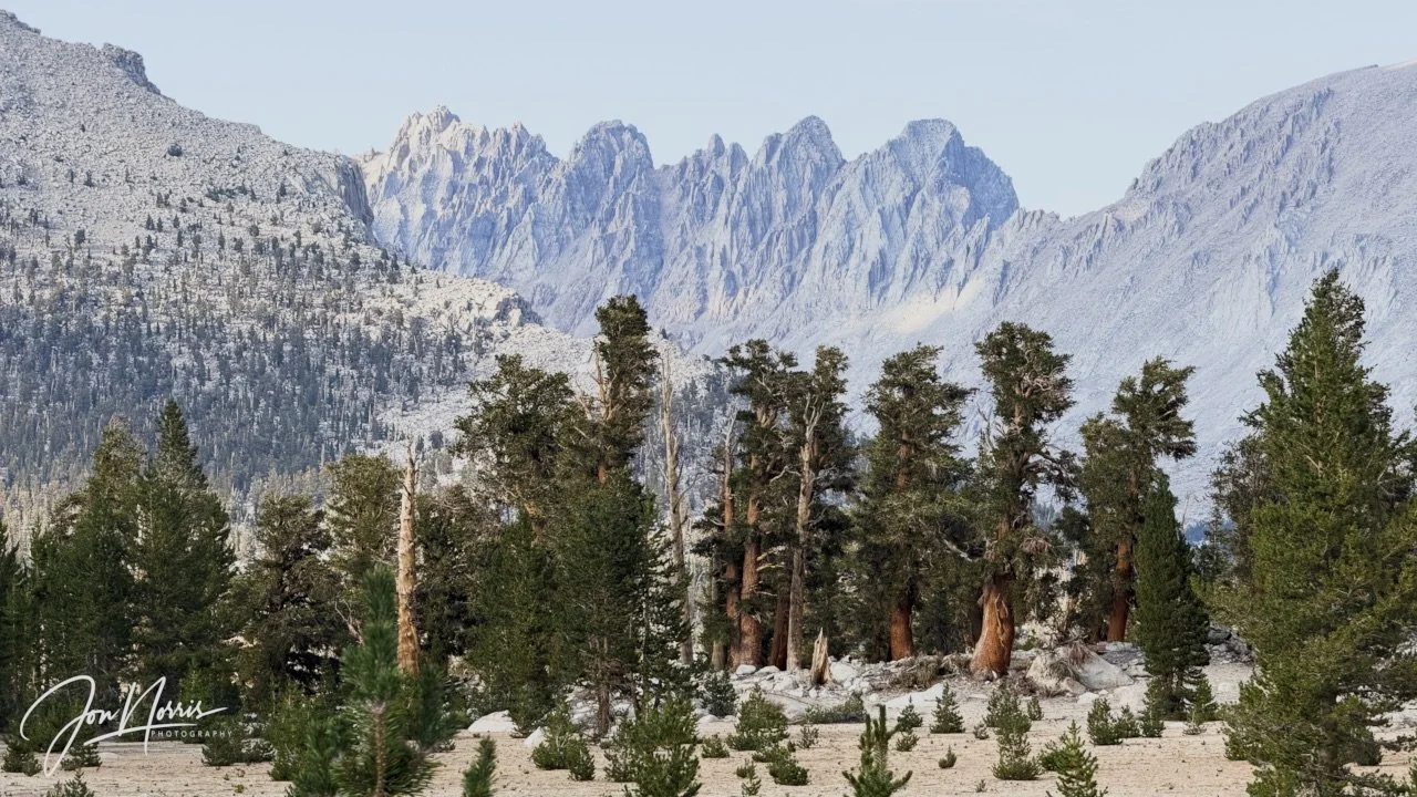
Looking North East from camp 7 towards Mt. Mallory, Mt. LaConte, and the Mt. Corcoran peaks | ©2026 Jon Norris
Introduction
I just backpacked across the Sierras, through Kings Canyon and Sequoia National Parks, on a Trans-Sierra Xtreme Challenge (TSX) trek with the Reciprocity Rx™ team. Reciprocity Rx™ is the brainchild of Sydney and Barry Williams (aka Hiking My Feelings® and WITW Consulting).
Over the next few weeks I’m going to publish a post for each day of the trek featuring route descriptions and reflection prompts from Sydney Williams, my responses to those prompts, plus exerts from my journal that I kept during the trek. In those responses I’m opening myself up, and being 100% authentic and real, so please be kind. Plus, of course, I’m including images that I took along the way.
As a landscape photographer it was a hard decision for me not to take my ‘big’ camera with me. As I was hiking with a group, I knew that I’d only be able to take snapshots throughout each day, and that I’d be carrying supplies for eight days, so adding 5+ lbs in weight made no sense. Consequently, all images were shot on my iPhone 17 Pro Plus.
NOTE: trekking miles and ascent / descent varied significantly between the GPX route files (whether viewed on AllTrails or Gaia GPS) and the data that my Garmin Fenix 7X recorded as I was trekking (it varied by 15 miles over the 8 days). I’m going to be using the Garmin data in the posts. I’m going to do some digging to try and figure out why this might be. I’ll share what I find out!
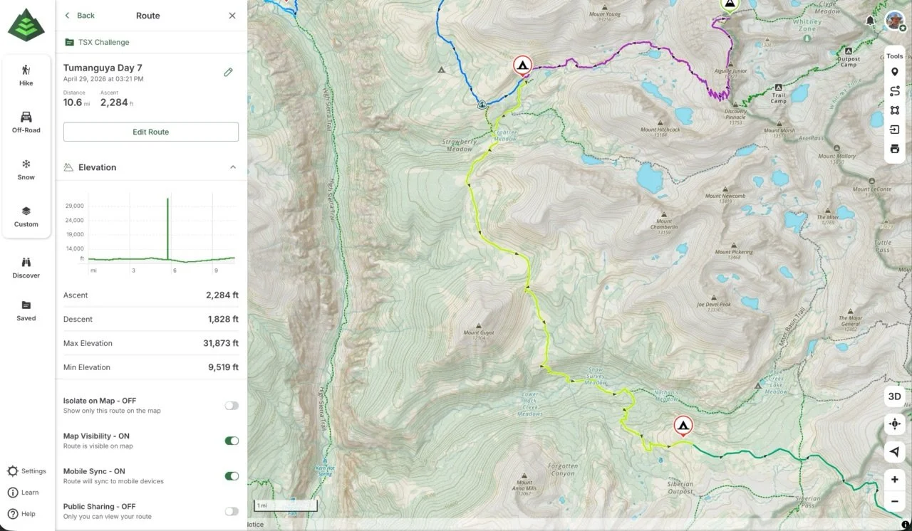
Tumanguya (Mt. Whitney) Backpacking Route - Day 7
Day 7’s Route Guidance
From Sydney Williams, “Day 7 is the day after the big thing.
Today’s theme is: Integrate.
Yesterday may have given you exactly what you hoped for. It may have given you something more complicated. Maybe you summited. Maybe you turned around. Maybe you stayed at camp. Maybe you felt proud, disappointed, relieved, emotional, surprised, or too tired to know what you felt.
Today, the trail keeps going.
That is not anticlimactic. That is life.
After the summit, after the attempt, after the choice, after the celebration, after the disappointment, after the adrenaline — there are still miles to walk. This is where the experience begins to land in the body.
As we leave Crabtree and move toward Rock Creek, notice how the landscape begins to shift. We are leaving the summit shadow and moving toward the drier, more open east side of the Sierra. The light may feel sharper. The trees may feel more spaced out. The trail may become sandier, rockier, and more exposed in a different way. Meadow pockets and water still appear where the land gathers them, but the spaciousness begins to change the tone of the journey.
Today’s invitation is to let the big thing settle without rushing to explain it. You do not have to know what yesterday meant yet. You do not have to turn it into a clean story while your body is still walking through it.
Let the miles give you room.
Today’s reminder: the day after the big thing is still part of the journey.”
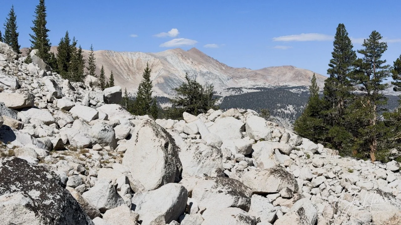
View from the Lower to Upper Crabtree Meadows Trail before it joins the Pacific Crest Trail | © 2026 Jon Norris
Trans-Sierra Backpacking - Day 7
After the long exhausting day climbing Mt. Whitney it was great to lie in (to 7am) and allow myself more time to rest. However, I didn’t sleep that well (due to the overload of summit day).
After a long day of hiking I often wake with my hips aching from sleeping on my side. This morning in the early hours my hips woke me up, but I managed to go back to sleep lying on my back—something I don’t naturally do. It’s amazing what exhasution will do for you.
I savored my two cups of coffee and had a Clif Bar (my preferred hiking breakfast). Time to get back on the trail.
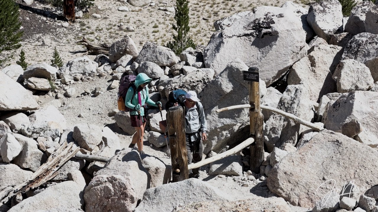
Stopping to admire this unusual gate | © 2026 Jon Norris
When I started hiking I felt good—pleasantly surprised that Mt. Whitney hadn’t taken all my energy from me. The first part of our hike took us along the Lower to Upper Crabtree Meadows Trail and then onwards to join the Pacific Crest Trail.
I walked at a good pace and completed the first five miles of the day without a problem. I think I was still on a high from summiting yesterday. Somehow I felt lighter on my feet.
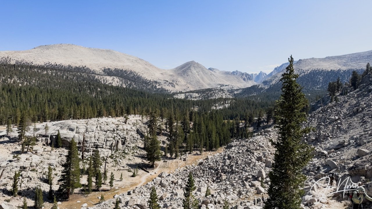
Looking back towards Crabtree Creek and the John Muir Trail in the distance | © 2026 Jon Norris
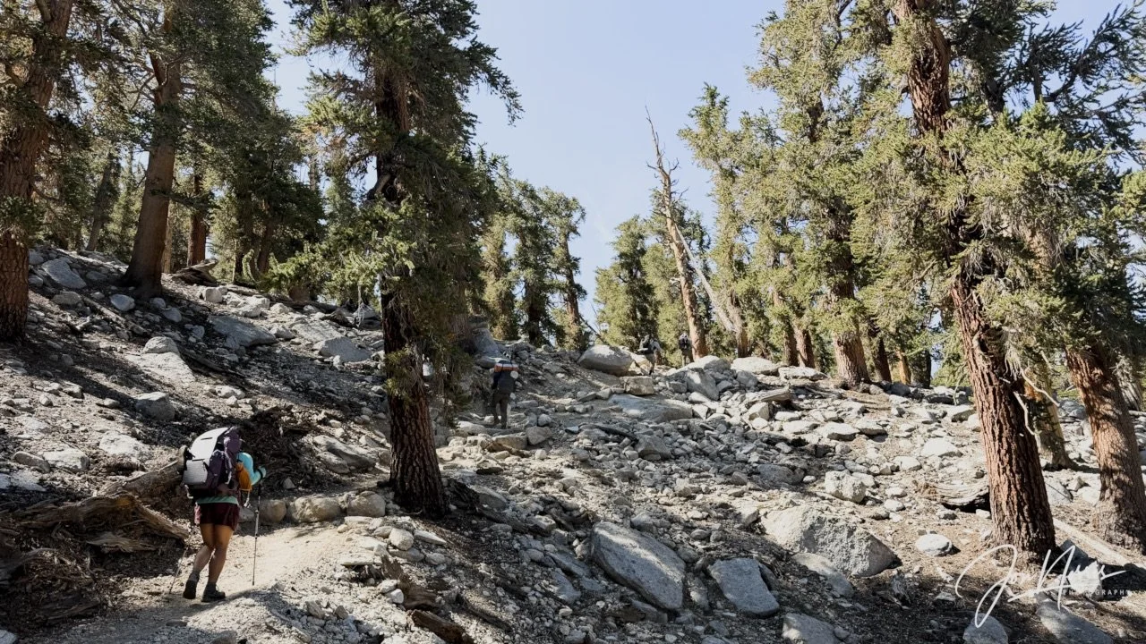
Gaining altitude after leaving Crabtree and Whitney Creeks behind us | © 2026 Jon Norris
I got up to the Guyot Pass just after the fastest hikers and found a comfortable place to stretch out and rest.
We had about an hour there while we waited for the others in the group. The weather was perfect—a clear blue sky, with a slight breeze to take the edge off the heat. I sat in the shade and watched a few other hikers come and go past us.
We were back on the Pacific Crest Trail now so it wasn’t a surprise to see more hikers—both NoBo (Northbound) and SoBo (Southbound) thru-hikers.
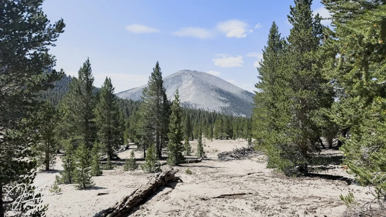
Mount Guyot from the Pacific Crest Trail | © 2026 Jon Norris
The descent towards Rock Creek was quite steep, with switchbacks of loose gravel and decomposed granite, which made you pay close attention to foot placement and balance. Once down at Rock Creek we enjoyed an hour or so relaxing next to the creek and ate lunch.
Tonight’s campsite was going to be dry, so we all filtered water and filled our bladders, bottles and the team 1-gallon water kegs. We only had about 3 miles to camp but it was going to be a heavy lift with all that water. I carried 7 liters up hill to camp. The weight of my backpack was close to being what it was at the start of the trek.
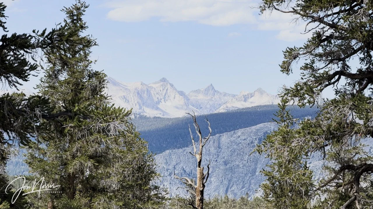
Looking West towards the Kaweah peaks from the Pacific Crest Trail | © 2026 Jon Norris
The trail weaved its way through the trees and I continued to make good progress. We had a few switchbacks and then as the trees started to spread out we walked through a series of alpine meadows.
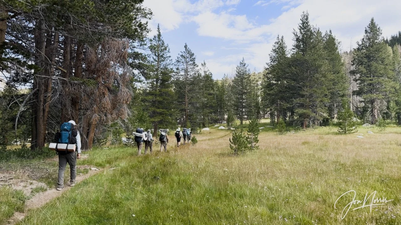
Pacific Crest Trail | © 2026 Jon Norris
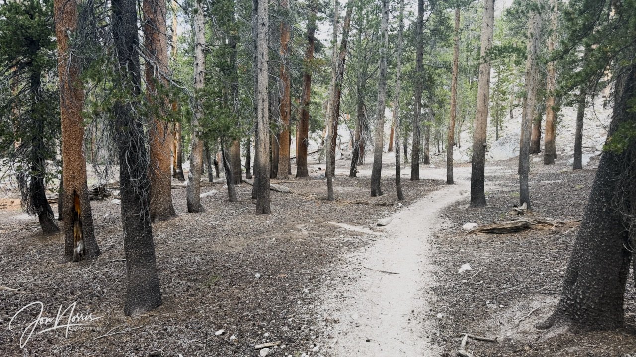
Pacific Crest Trail | © 2026 Jon Norris
We had a couple more miles of undulating decomposed granite trail that weaved it’s way through the fir trees. The final obstacle was a short but steep climb up through the edge of the tree line.
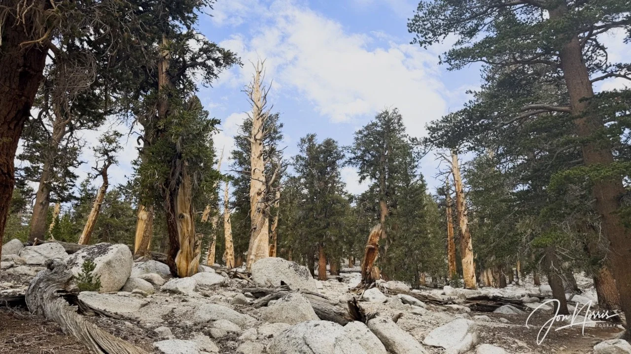
Pacific Crest Trail | © 2026 Jon Norris
As we crested the ridge line, the view opened up to reveal a high desert plateau of fir trees of every conceivable size and shape.
What an amazing campsite. A huge flat area for camping and a phenomenal view of Mt. Mallory, Mt. LaConte and the Mt. Corcoran peaks.
We had a feast of Ramen noodles with ginger, garlic and dried vegetables. After dinner we had our last ‘Roses and Thorns’ session as a hiking team.
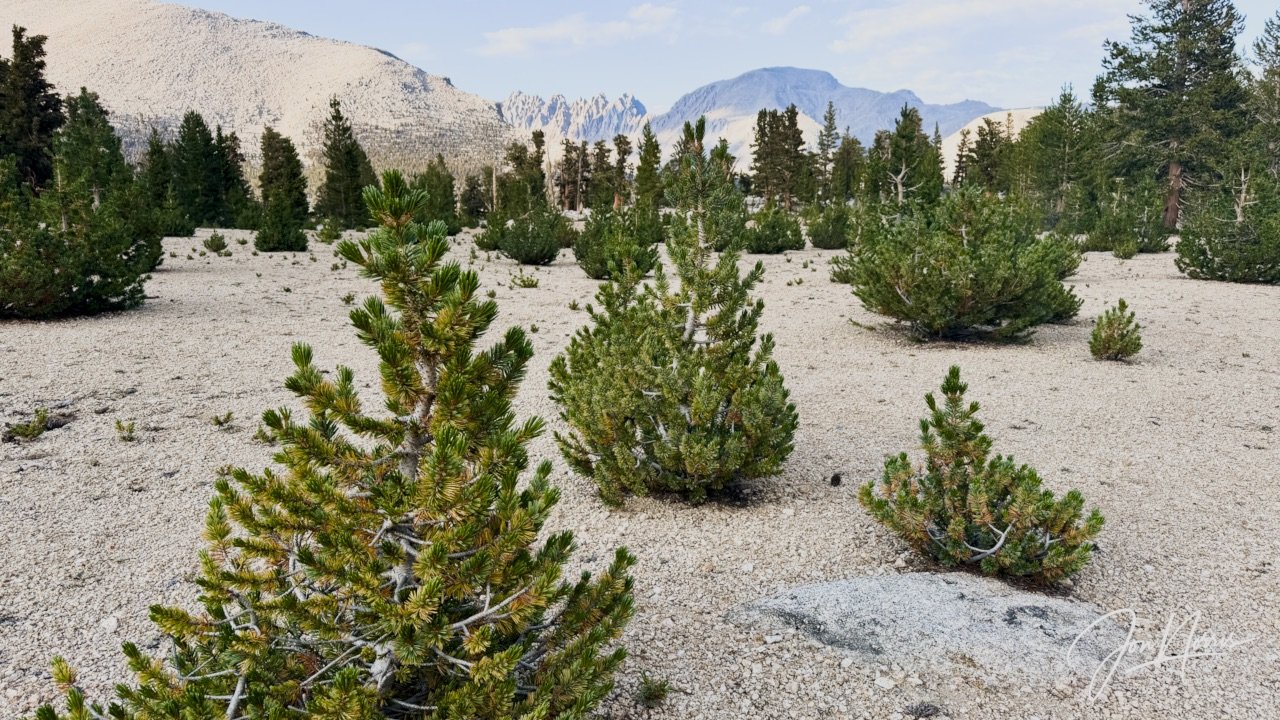
Looking across the high desert plateau of camp 7 towards Mt. Mallory, Mt. LaConte, and the Mt. Corcoran peaks | © 2026 Jon Norris
The Roses were our highlights for the day—that we each took turns to share with the team. The Thorns were our challenges (lowlights) for the day. Every day we had far more Roses than Thorns—and today was no exception.
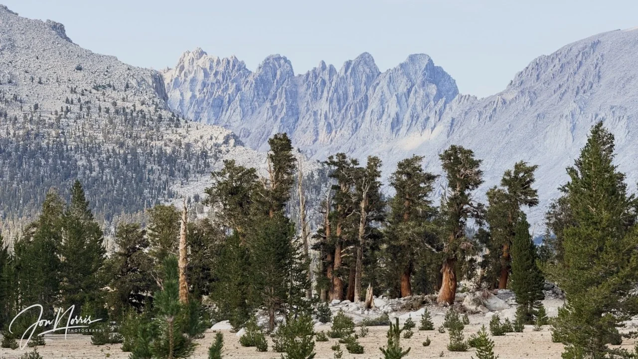
Looking North East from camp 7 towards Mt. Mallory, Mt. LaConte, and the Mt. Corcoran peaks | ©2026 Jon Norris
Chris (our guide) gave each of us a trail name—if we didn’t already have one. A few days earlier some of the team had suggested my trail name should be ‘Little Jon’—a clear reference to my ‘size’ and also, as I’m English, a nod to one of Robin Hood’s gang of merry men.
It was a perfect night for cowboy camping and I went to sleep staring up at the star filled sky.
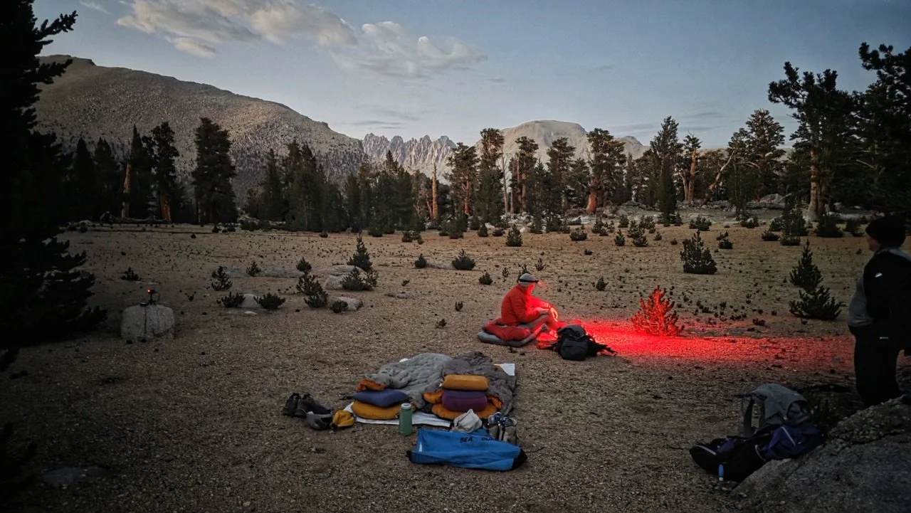
A perfect location for cowboy camping for our last night | © 2026 Barry Williams
Till next time - and Day 8!
Day 7’s Camp Reflections
Prompts from Sydney Williams, with my responses.
Daily Reflections:
What did you notice outside yourself today? The morning light coming through the trees as we hiked along the creek at the edge of Crabtree Meadow. Dappled light that hinted at the heat to come during the day..
What did you notice inside yourself today? I noticed that I felt a sense of relief after Mt. Whitney. My body was less tense nd my mindset was lets get this done. I hiked with more confidence, and set a good pace.
Where did the landscape match your inner experience? My favorite part of today was the hike across the Guyot flat and then up to Guyot Pass. I got out my sleeping mat and leant on a rock and enjoyed the relaxing sensation that flowed after the morning’s hike..
Where did it challenge it? Everyday after lunch was a challenge. It was good to rest and eat lunch, but getting going again was a challenge. I felt it accutely today after lunch as I worked my way up the switchbacks to the High Desert.
What moment from today do you not want to forget? Topping out after the climb up from Rock Creek, heading towards the clearing trees and blue sky, and seeing the High Desert where we were going to camp for our last night. It really was one of the best places I’ve ever camped. The last night of the hike, cowboy camping with a phenomenal view of Mt. Mallory, Mt. LeComte and Mt. Carcorran.
Theme Reflections:
What are you beginning to understand now that you couldn’t see in the middle of it? This hike has taught me that I can do hard/challenging things that at the start i feared I would not be able to do. It’s given me more confidence to go out and explore on my own.
What from yesterday is still settling in your body, mind, or heart? The realization of summiting Mt. Whitney still doesn’t feel real to me. A goal that I set myself 6 months ago has now been achieved.
What does the day after the big thing need from you? It needed me to continue pushing myself, to increase my pace, and to enjoy my hiking. Today felt like I was hikinh for myself, and it felt really good.
Story Invitation:
What part of your story are you learning not to rush into meaning? I’m not trying to close this chapter; I’m not rushing to process all that I went through to get here. I’m letting it be and allowing the feelings and emotion to come out.
